
Summary
General Information
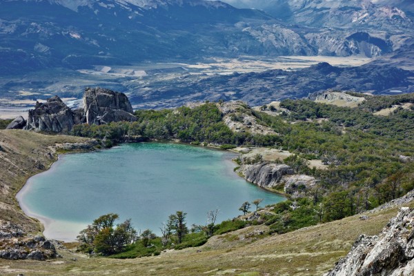
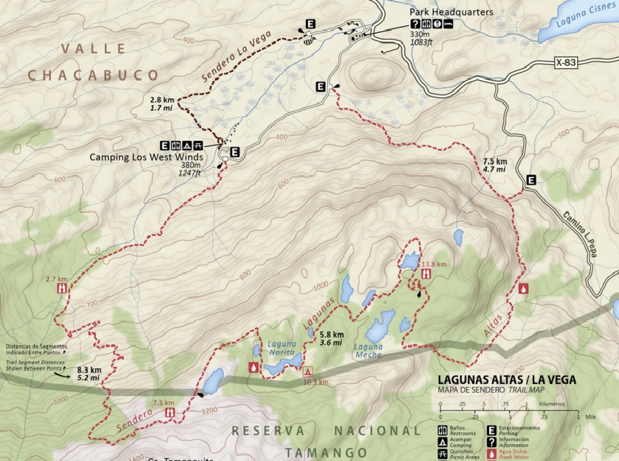
Circuito Lagunas Altas
Country: Chile
Region: Región de Aysén
Area: Valle de Chacabuco
Nearest city: Cochrane
Number of journeys: 1
Total distance: 20,5km
Trail Markings: Frecuente y clara
Trail: Claro y marcado
Route type: Circuito
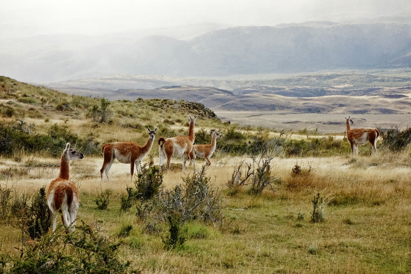
Fauna
Ruta con cumbre
Lagos / Lagunas
Panorámicas / Paisaje
Graduations (4)
I did it
Hiking routes
CIRCUITO LAGUNAS ALTAS
Valle de Chacabuco
Author: José Mena, Joaquín Prado
Introduction
The route Lagunas Altas (High Waters in English) is a circuit just over 20km in length, and it is possible to complete it in one day as a long excursion. It is located with Parque Patagonia, a private reserve close to the city of Cochrane, and is one of its most beautiful and interesting routes.
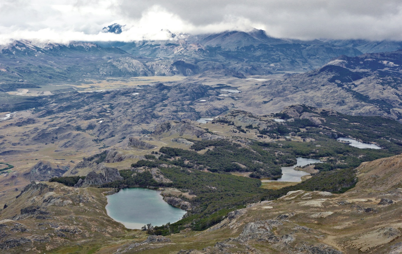
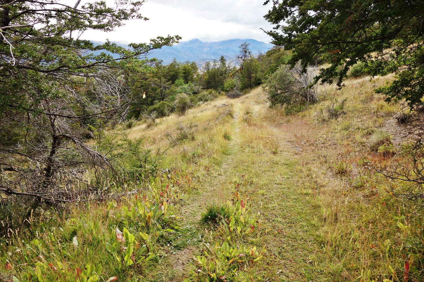
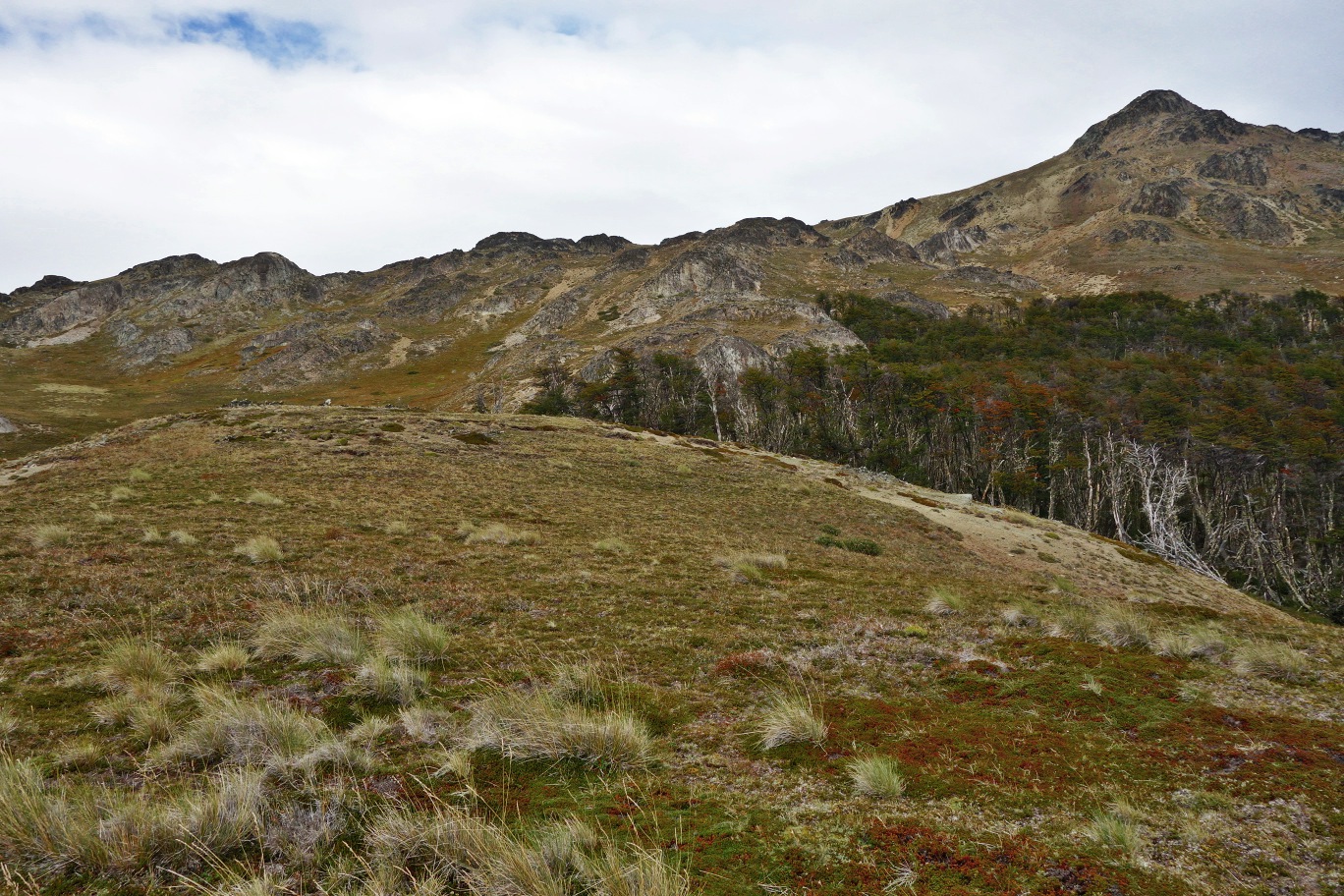
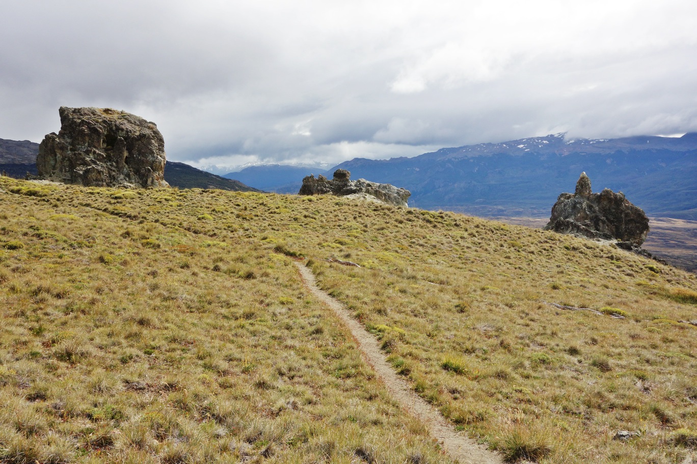
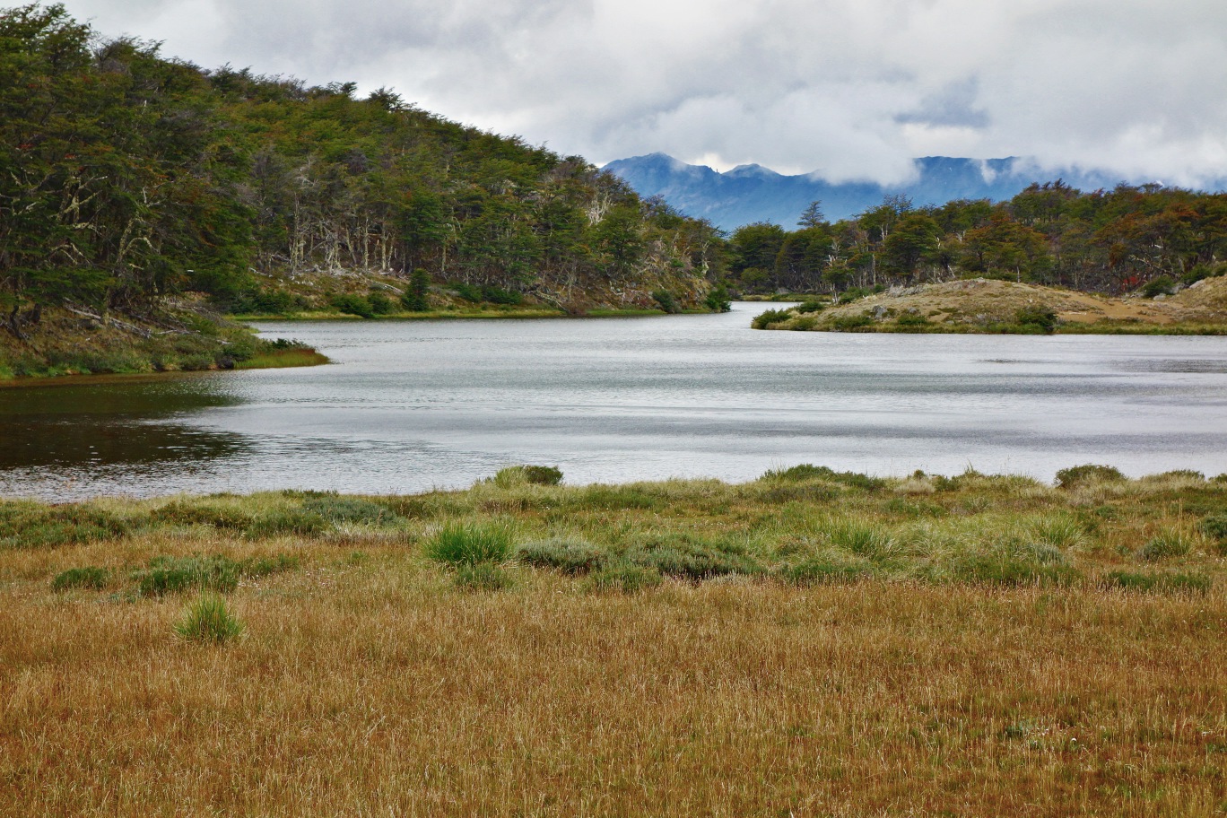
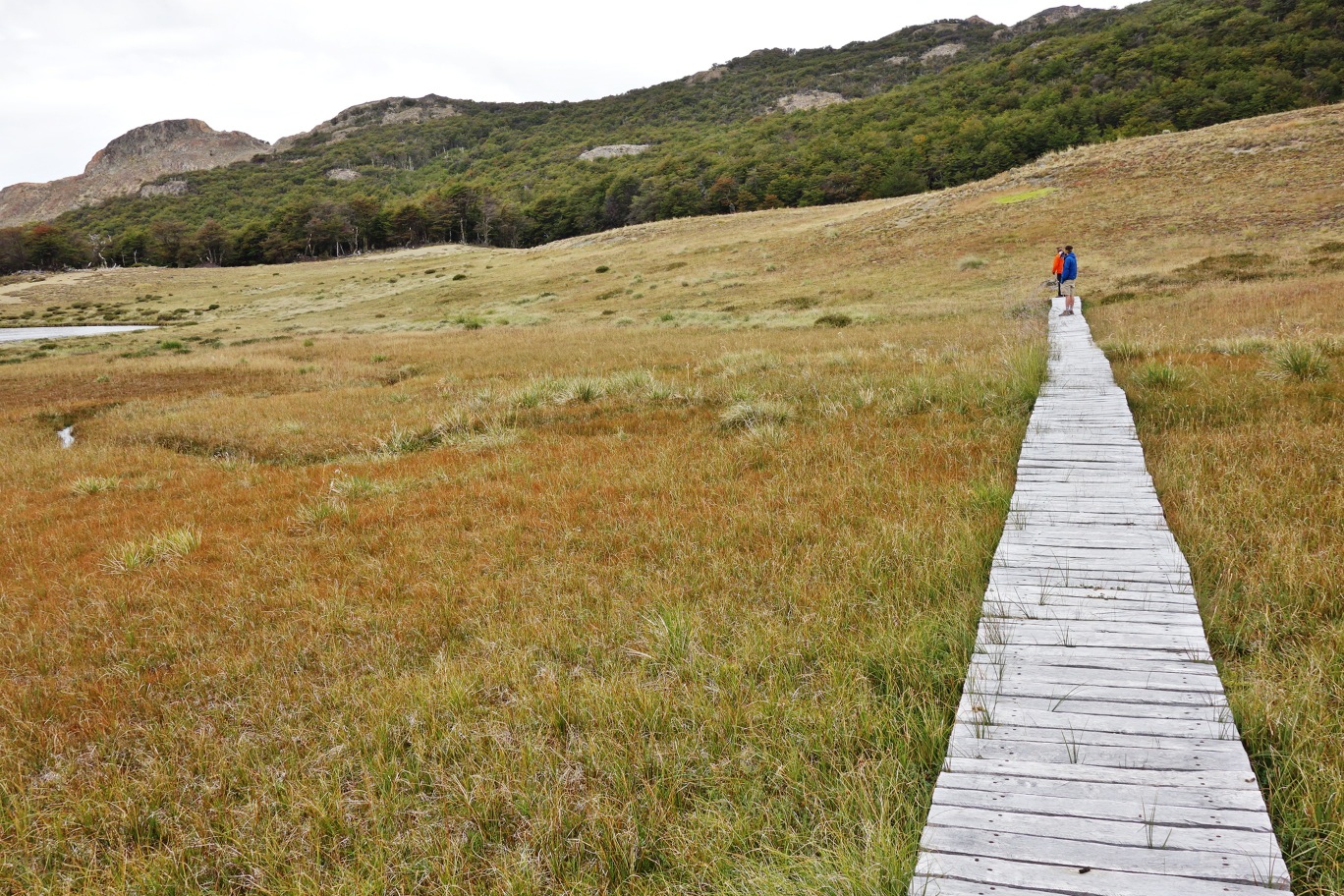
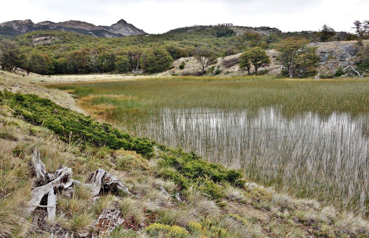
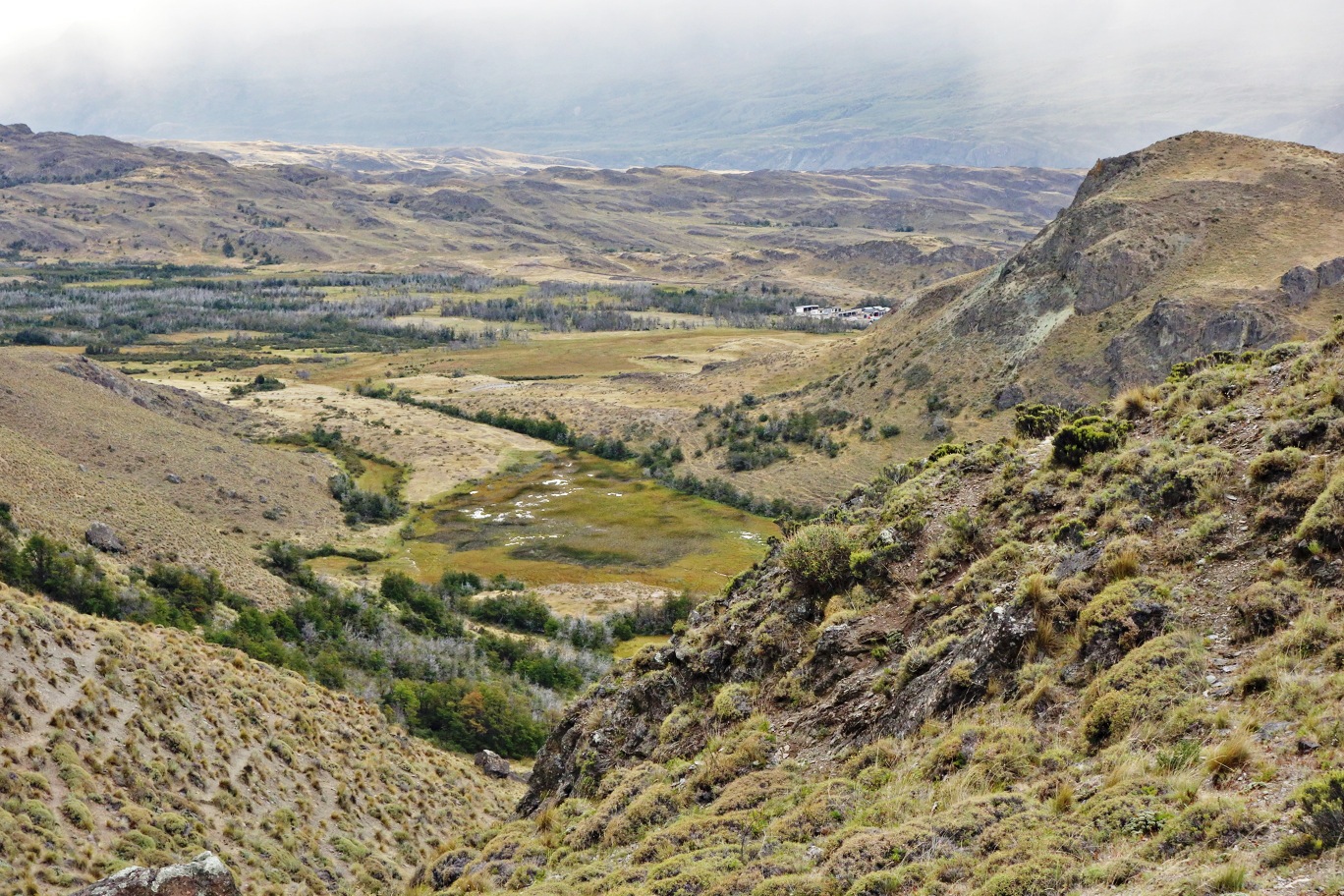
The circuit starts on the plain of the impressive valley of Chacabuco, and then gives way to a somewhat demanding ascent, which leads the hiker to the highest ridge of the mountain chain which separates the previous valley and the Reserva Nacional Tamango. Along a long and difficult route which passes through high pampa (Patagonian grassland), Patagonian steppe and woods, the path connects seven lakes in just one day’s excursion – all at high altitude, hence the name of the route – as well as offering great vies of the Chacabuco Valley, the Reserva Nacional Tamango, the mountains of the Northern Ice Field and other natural wonders such as the silhouette of the mountain monte San Lorenzo, visible to the south. Another important attraction of the route is that it crosses an area populated by many guanacos – which will provide a constant companionship along the entirety of the route – as well as offering a particularly favourable backdrop for sightings of huemules and pumas See photo 1 and See photo 2.
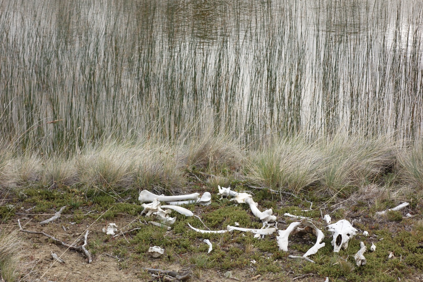
The route Lagunas Altas brings the walker into a very Patagonian landscape, which is very different to more widely spread images of Patagonia, as it is an area covered predominantly by steppe and marshland before woodland, creating a balance that becomes a very special sight – perhaps a “drier” beauty.
Even though the route doesn’t present any great difficulties, you should give yourself between 6 and 20 hours to complete it, as it also involves various ascents and descents of significant changes in altitude (depending on the alternative routes that you can take, the change in altitude can reach up to 100m, hence it is recommended that those completing the route should be in a relatively good physical condition. Furthermore, the route is quite exposed to the wind and the cold, these being factors to take into consideration when preparing your backpack for this route.
The future Parque National Patagonia
The Parque Patagonia is a project developed by the foundation Conservación Patagónica, an organisation headed by the North American conservationist Kristine Tompkins, which aims to protect and conserve the delicate ecosystems of this sector of Chilean Patagonia. In 2004 Conservación Patagónica bought what was previously the Estancia Chacabuco, a great 75,000 hectare ranch property of the Belgian Francisco de Smet, which for many decades was used for livestock. From the moment that it was bought, a great amount of work has gone into making it a suitable area for conservation. This involves taking down many kilometres of fencing; expelling tens of thousands of sheep; and creating other conditions that will help the repopulation of the native fauna of the area (pumas, huemules, guanacos and flamingos, among other species).
There is currently a project that the Parque Patagonia has given over to the Chilean State, and it plans to unite the National Reserves Jeinimini in the north with Tamango in the south, creating on great unspoilt and protected area 263,000 hectares in size which will be named the Parque Nacional Patagonia. Regardless of that this project achieves in the short or long term, the Parque Patagonia is a reserve that without a doubt is worth visiting, as besides the Lagunas Altas circuit there are other excellent routes to complete, as well as going deep into the Chacabuco Valley is a must in the Aysén region.
Appropriate season
The park is open all year round. However, we recommend that you attempt this route between October and the end of April, as the rest of the year has bad weather and the condition of the Carretera Austral becomes unpredictable.
Access
The closest settlement to the park is Cochrane. See here how to get to Cochrane.
Approach from Cochrane
If you are travelling via private transport, you should take the Carretera Austral (route 7) nortwards and continue on from Cochrane for 18km along a gravel road until you reach a crossing with another gravel road (route X-83) which leads eastwards towards the Paso Internacional Roballos. Turn onto this dirt road which after 11km leads to the administrative centre of Parque Patagonia. From there the road leads on for a little more than 2km to the campsite Westwinds. The route starts some 250m before the campsite entrance. From Cochrane it takes around an hour by car. There is parking at the campsite as well as at the start of the route.
If you are planning to go via public transport, there are three bus companies in Cochrane: Interlagos, Acuario 13 and Don Carlos. In peak season the buses depart daily and leave from Cochrane between 8:00am and 9:00am towards the north. It is recommended that you reserve your seats in advance. You should tell the driver that you want to get off at the Entrada Baker Crossing. From there it is another 11km to the administrative centre, and you can either walk there or hitchhike. From the administrative centre to the campsite Westwinds it is another 2km walking, which will take around ½ hour.
To find out about prices, changes to bus timetables, etc. ask in the tourism office located in the Plaza de Armas (Main Square) in Cochrane.
Permits / Prices
It is not necessary to pay entrance fees or obtain permits to visit the park.
Accommodation / Facilities
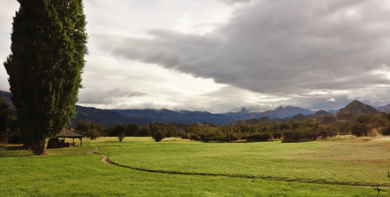
The Parque Patagonia has tourist services such as a restaurant, visitors’ centre, excursion guides and a magnificent lodge to stay in. As well as this, there is the campsite Westwinds, which has mud huts to camp in, toilets and showers heated by solar energy. Camping costs CLP $5000 (US $10) per person, and is open between 1 October and 30 April See photo 3 y See photo 4.
Recommendations
- There are various points where water is available along the route.
- This is a particularly windy route; therefore we recommend that you use appropriate clothing.
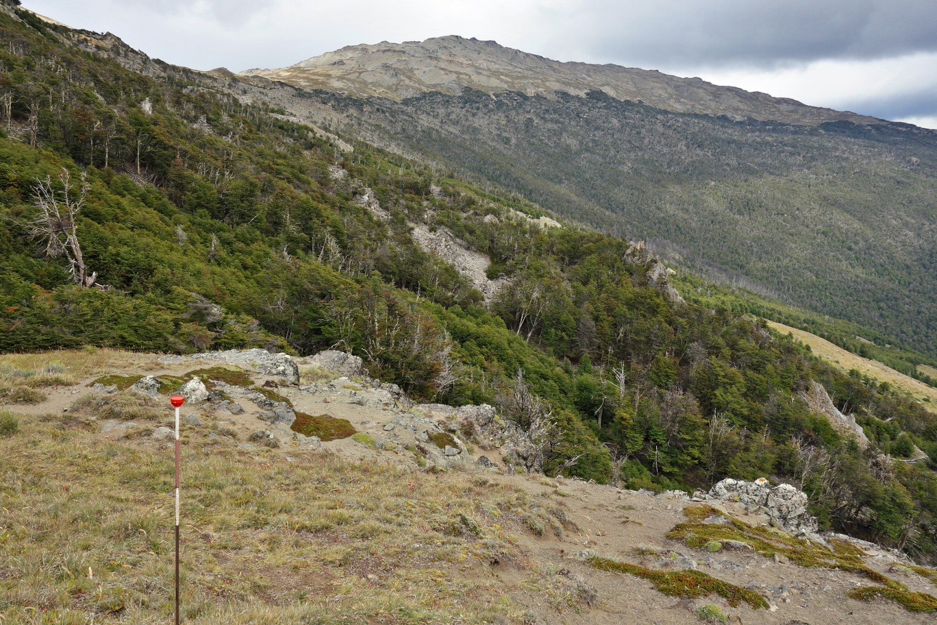
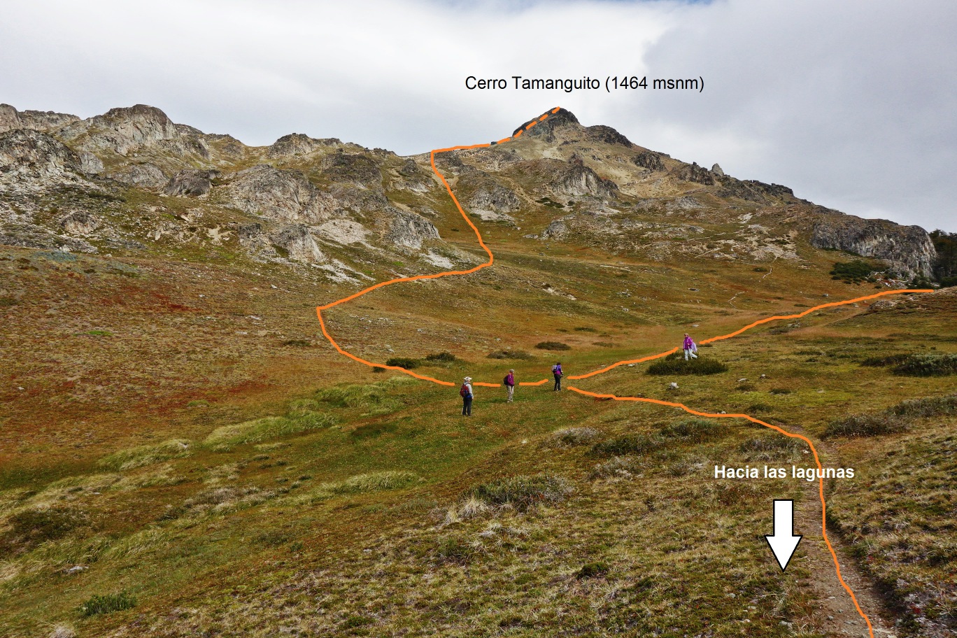
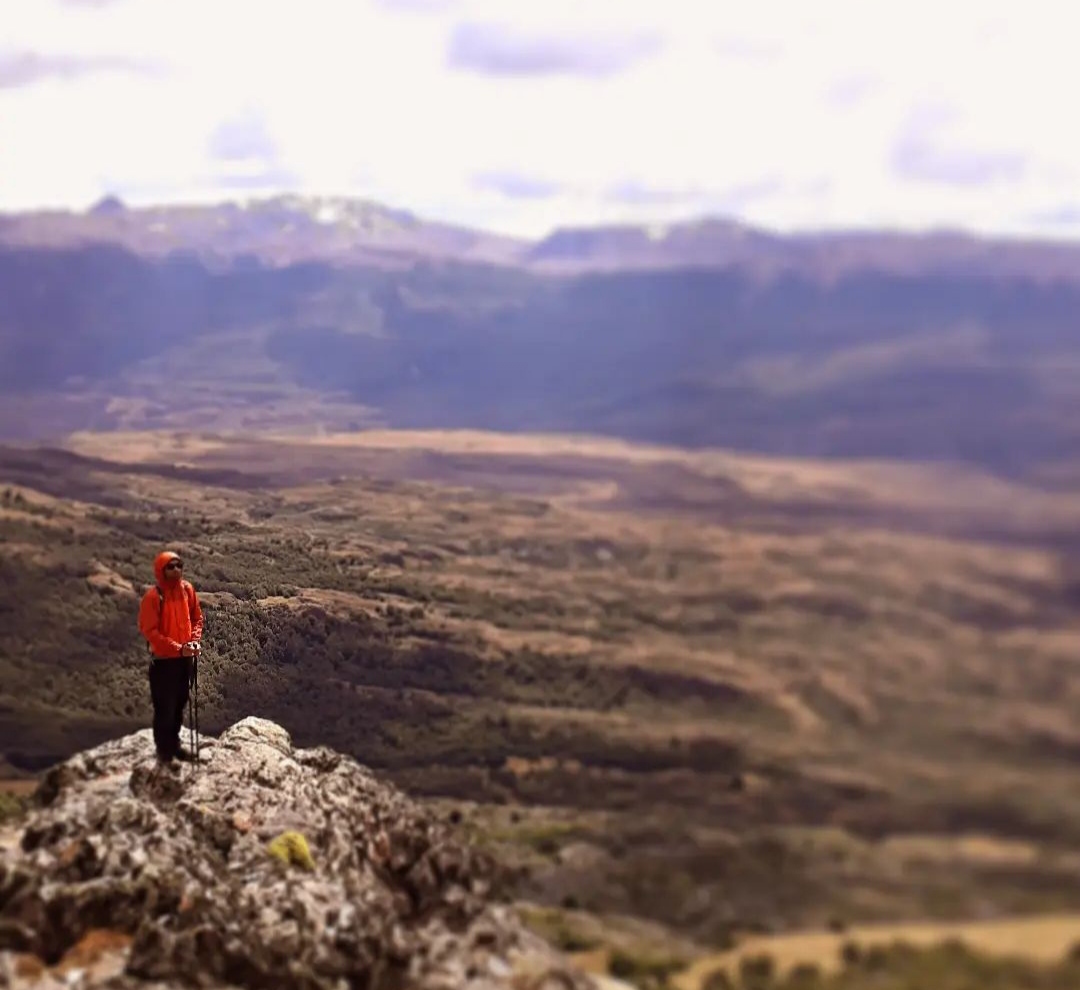
- It is worth climbing to the summit of cerro Tamanguito to see the astonishing view across the Valley of Chacabuco, the lake Lago Cochrane and the mountain monte San Lorenzo See photo 5.
- As it is a long and physically demanding route, you can stay at the pleasant campsite Westwinds instead of heading straight back to Cochrane.
- The Parque Patagonia has a lot of other interesting trails which are worth completing, or you can even simply go by car through the Valley of Chacabuco towards the Paso Internacional Roballos. We recommend that you stay at least two days to properly see the park and make the most of your visit.
Gear
- Boots or trekking boots
- Trekking poles
- Windbreaker
- Head torch
Schedule
Itinerary
- Cochrane - Westwinds Campsite - Lagunas Altas Circuit – Cochrane
Alternative Itinerary
- Cochrane – Westwinds Campsite - Lagunas Altas Circuit - Westwinds Campsite
- Westwinds Campsite - Cochrane (recommended if you want to stay at a decent campsite after a long day of walking).


Comments
Circuito Lagunas Altas
Nicolás Berríos 14/04/2024
Other excursionists: Marjorie Carvajal
Punto alcanzado: Circuito completo
Fecha expedición: 13/02/2020
Maravilloso sendero y con grandes vistas al Valle de Chacabuco. Mucho guanaco y uno que otro cóndor. Totalmente recomendado este sendero del enorme parque Patagonia
José Mena 12/05/2015
Punto alcanzado: Circuito completo
Fecha expedición: 03/03/2015
Bellísima excursión para realizar por el día. La presencia de rastros de puma y la compañía de multitudes de guanacos añaden un valor especial a la ruta.

Toda la dificultad está dada por su extensión; también la exposición al viento puede ser un factor que haga de esta ruta una excursión un paseo para tomárselo un poco más en serio.
I did it!