
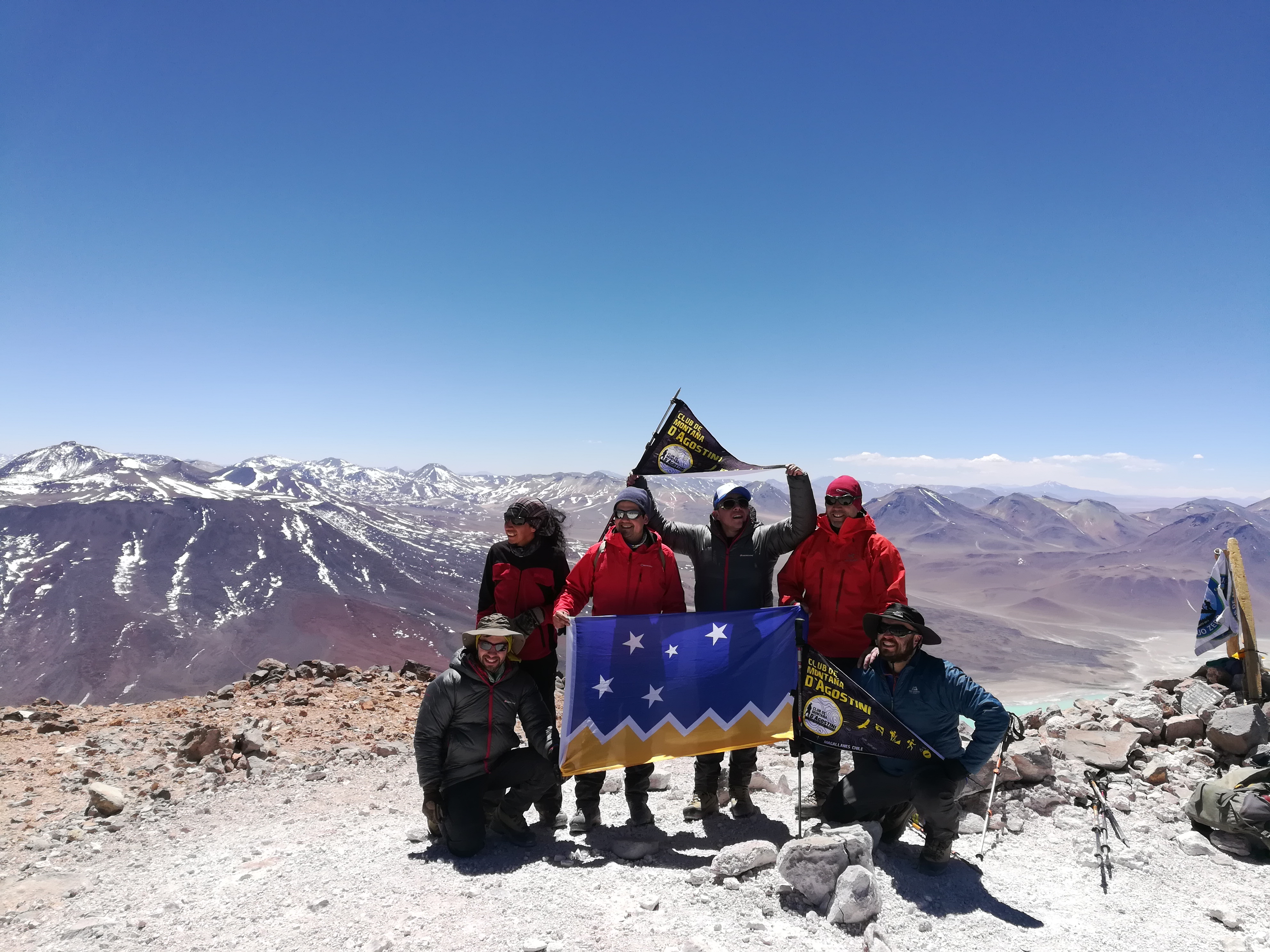
Presentación
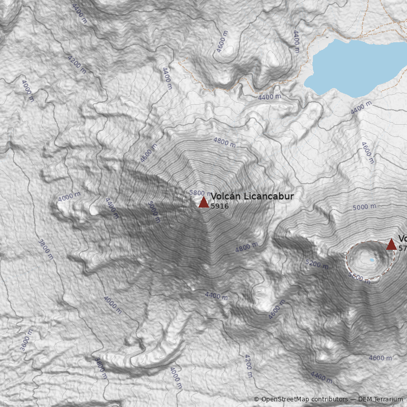
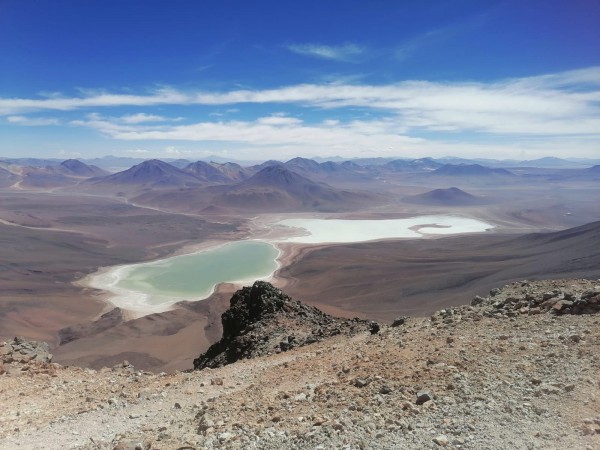
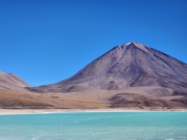
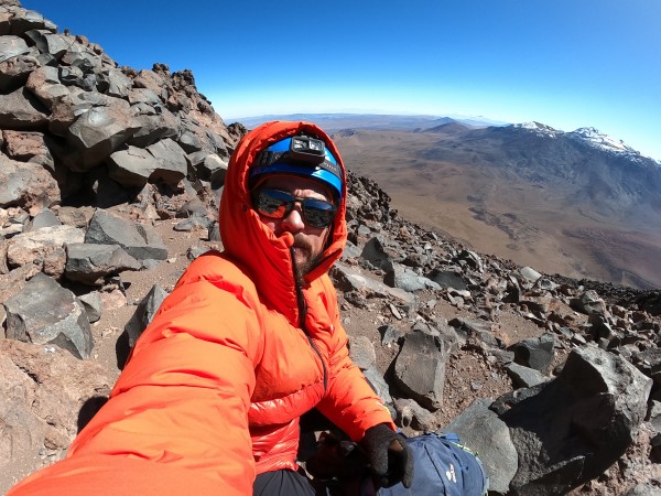
El Licancabur es el más bello volcán de la zona de San Pedro de Atacama. No sólo domina el oasis en sí con su perfecta ságoma* cónica, sino que atrapa la vista y la atención de todo observador, como si a su alrededor flotara un aire de misterio. El Licancabur es un volcán especial: la vista se detiene sobre sus laderas de un modo instintivo, hipnotizándonos, haciendo desaparecer por un momento el recuerdo de otros volcanes.
Leyendas antiguas de bodas míticas con el cerro Quimal (cerro distante unos 100km hacia el Oeste), de gente que vivió sobre sus alturas, de fabulosos ritos que se realizaron sobre su cráter, aun corren de oído en oído entre los descendientes de la cultura Atacameña, los atacameños. Para ellos el Licancabur fue la montaña más sagrada de toda la región. A él acudieron peregrinos desde lejanos lugares, y alojaron en el poblado construido sobre sus faldas a 4600m de altura. En su cráter los sacerdotes encendieron grandes fogatas para comunicarse místicamente en las fechas señaladas con los restantes santuarios de altura de la zona, en especial con aquellas realizadas en el cerro Quimal. "El Licancabur fue en suma el gran señor de aquel desierto."
El Licancabur posee uno de los complejos de ruinas más abundantes y mejor estudiados de todos los santuarios de altura existentes en Chile. Su importancia mística, segun Reinhard, fue probablemente anterior al Incanato; sin embargo, fueron los Incas quienes erigieron las plataformas y estructuras cumbreras, la marcada huella hacia su cima, y los diferentes grupos habitacionales sobre sus faldas.
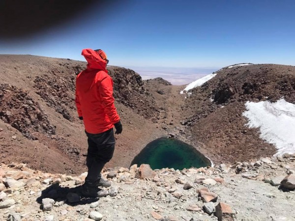
No hay claridad absoluta sobre qué tipo de rituales eran celebrados en el volcán. Al ser un volcán muy seco, parece poco probable que el motivo de las ceremonias haya sido la fertilidad. Parece más razonable la hipótesis del Licancabur como lugar de adoración al sol. Sin embargo, es posible que las dos hipótesis se yuxtapongan, ya que el agua de la lagunita en la hoya del cráter pudo muy bien motivar también los ritos de fertilidad. Así mismo, ritos solsticiares (según Le Paige), que se celebraban cuando, por ejemplo, la sombra del Licancabur cubría al cerro Quimal (un hecho poco frecuente), también puede tener una interpretación ligada a la fertilización.
Lo que sí es más claro es el hecho de que El "Pueblo de Licancabur" no fue utilizado para otra cosa que el acoger a los peregrinos que se acercaban al volcán para ceremonias especiales. No era un lugar para una permanencia estable, y para otros motivos que no fueran religiosos, porque no hay agua junto a él, ni se han hayado herramientas entre sus estructuras (aunque es posible que éstas, si existieron, fueran robadas por los huaqueros).
Toponimia
Licancabur quiere decir en kunza (dialecto atacameño) "Pueblo de Arriba", según el Padre Le Paige.
A continuación una síntesis de las estructuras encontradas en el volcán Licancabur:
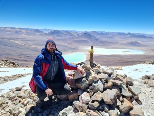
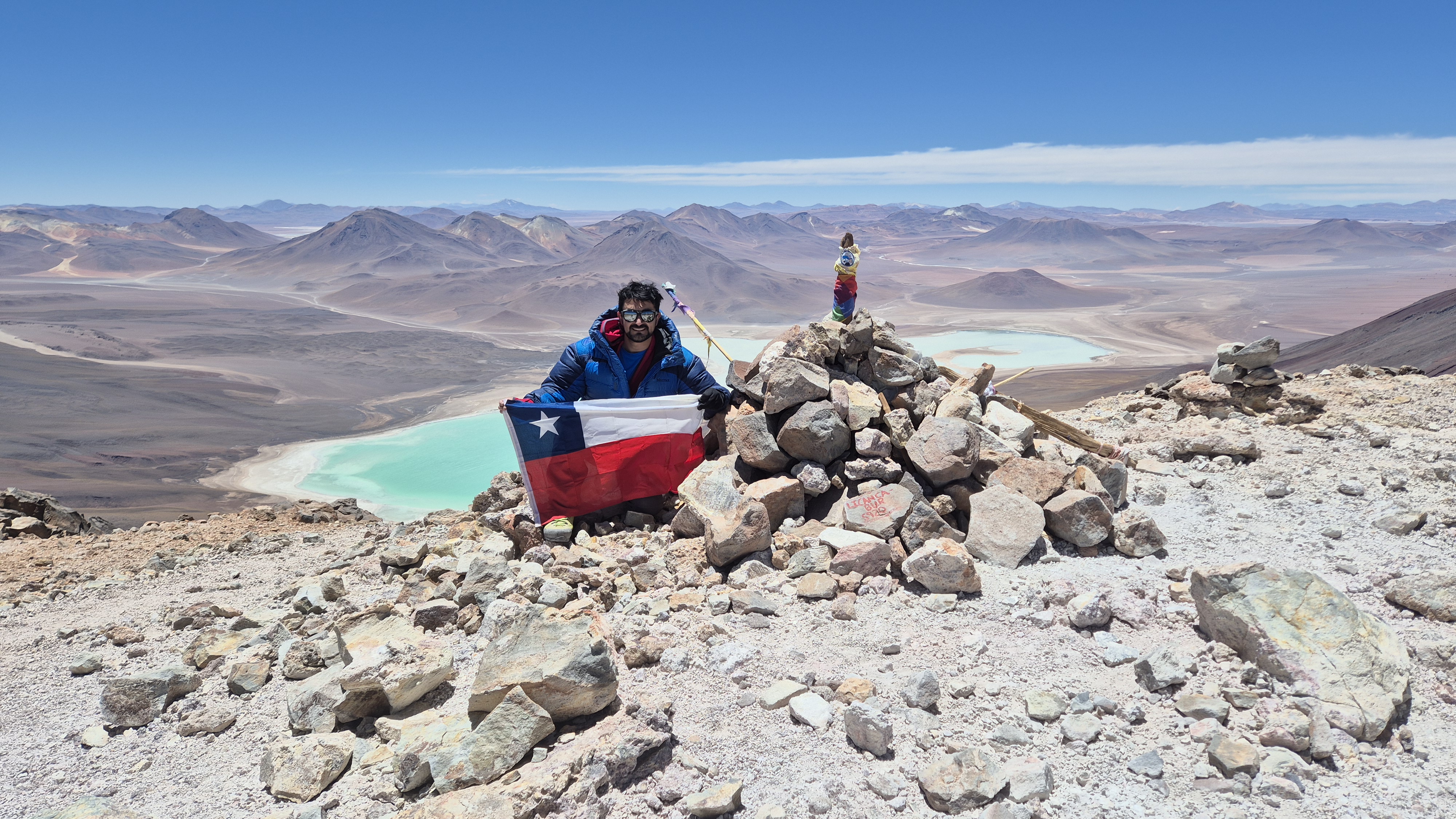
- 23 Estructuras en la cumbre a 5920m;
- 7 Estructuras a 5830m, ladera Este;
- 2 Estructuras a 5600m, ladera Este;
- Estructuras habitacionales a 5200m;
- Ruinas a 4900m, ladera Este;
- Tambo "Pueblo de Licancabur" a 4600m, 150 estructuras.
Notas: *Ságoma: Patrón para trazar líneas y fijar la medida al trabajar las piezas de diversos artes y oficios, escantillón.


