Summary
General Information
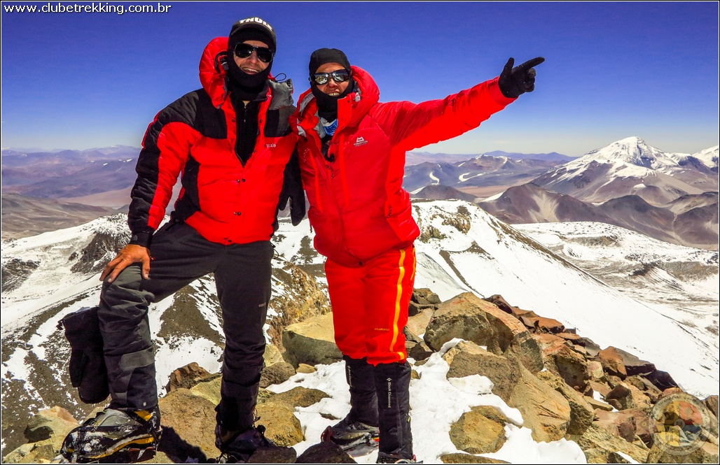
Volcán Ojos del Salado (6893 m.)
Normal Route
Country: Chile
Region: Región de Atacama
Area:
Face: Norte
Altitude gain: 2500 m. desde entre Laguna Verde y la cumbre.
Number of journeys: 0
Trail: Claro y marcado
Year First ascent: 1956
First ascent:
Capitán René Gajardo (CL), Luis Alvarado (CL), Vicente Chiaranda (CL), Miller (CL), Sargento Zamora (CL) y Cabo Godoy (CL)
Caminata simple

I did it

Mountain route
NORMAL ROUTE
Appropriate season
Between November and April. It is not unusual for the weather spoiling suddenly in mid summer. The effects of the so called "Bolivian Winter" may reach these latitudes and hit the zone with snow and rainfall.
Access
The first part of an expedition to Volcán Ojos del Salado consists in travelling all the way from Copiapó to the altiplanic Laguna Verde, at whose shore Base Camp shoulde be set up VERFOTO2. From Copiapó (km. 0) take the road heading East which leads to Paipote. Once there, continue along the paved road which goes to Diego de Almagro. On km. 25 the paved road must be left in order to continue, to the right, by a very good rubble road. The road then climbs up along a dry riverbed. On km. 79 there are two options for continuing to Paso San Francisco. The first is by the Quebrada de San Andrés (main road, has some not too good sections, but the views are well worth the effort.) The second is by the Quebrada de Paipote. Both options cover a similar distance and both reach a col from which the Salar de Maricunga is visible and behind it the border complex. After going past the border complex one must go on along the main road until reaching Laguna Verde (4300m) See photo 2.
Distance from Copiapó to Complejo Fronterizo San Francisco: 184 kms.
Distance from Copiapó to Laguna Verde: 265 kms.
Aproximate timing (Copiapó - Laguna Verde): 6 hours.
Approach
There is no approximation. The ascent starts where left by the vehicles.
The climb
Laguna Verde is a nice place for setting up Base Camp and acclimatizing See photo 2. It is pretty wide and it has a small hut with a thermal spring inside. It is also possible to use some of the hut´s rooms as kitchen or storage, though attention must be payed to mice. Some hundred meters from this hut there is a police post. The only inconvenience is that drinking water must be fetched in bottles from a little spring at the side of the road about a kilometer past the police.
After acclimatizing enough, one must continue by vehicle (now a 4x4 is a must) to Refugio Atacama (5200m) See photo 3. This will mean going back (towards the West) a few kilometers along the rubble road until reaching an old police post, now abandoned, and then head South by a pretty flat road. After overcoming some sand covered parts, the Refugio Atacama is reached. The ride from Laguna Verde to Refugio Atacama will take about an hour.
It is advisable to continue the acclimatization process at Refugio Atacama for a couple of days more. From Refugio Atacama, one hikes up to Refugio Tejos (5900m) (See photo 4) along a gentle trail visible from Refugio Atacama for about 3 hours.
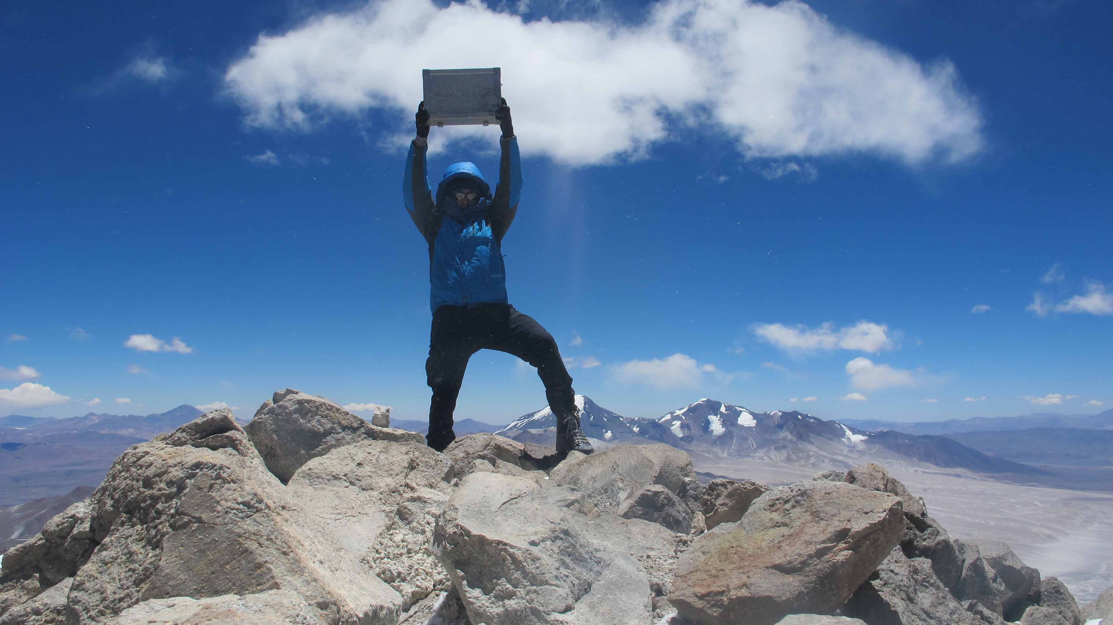
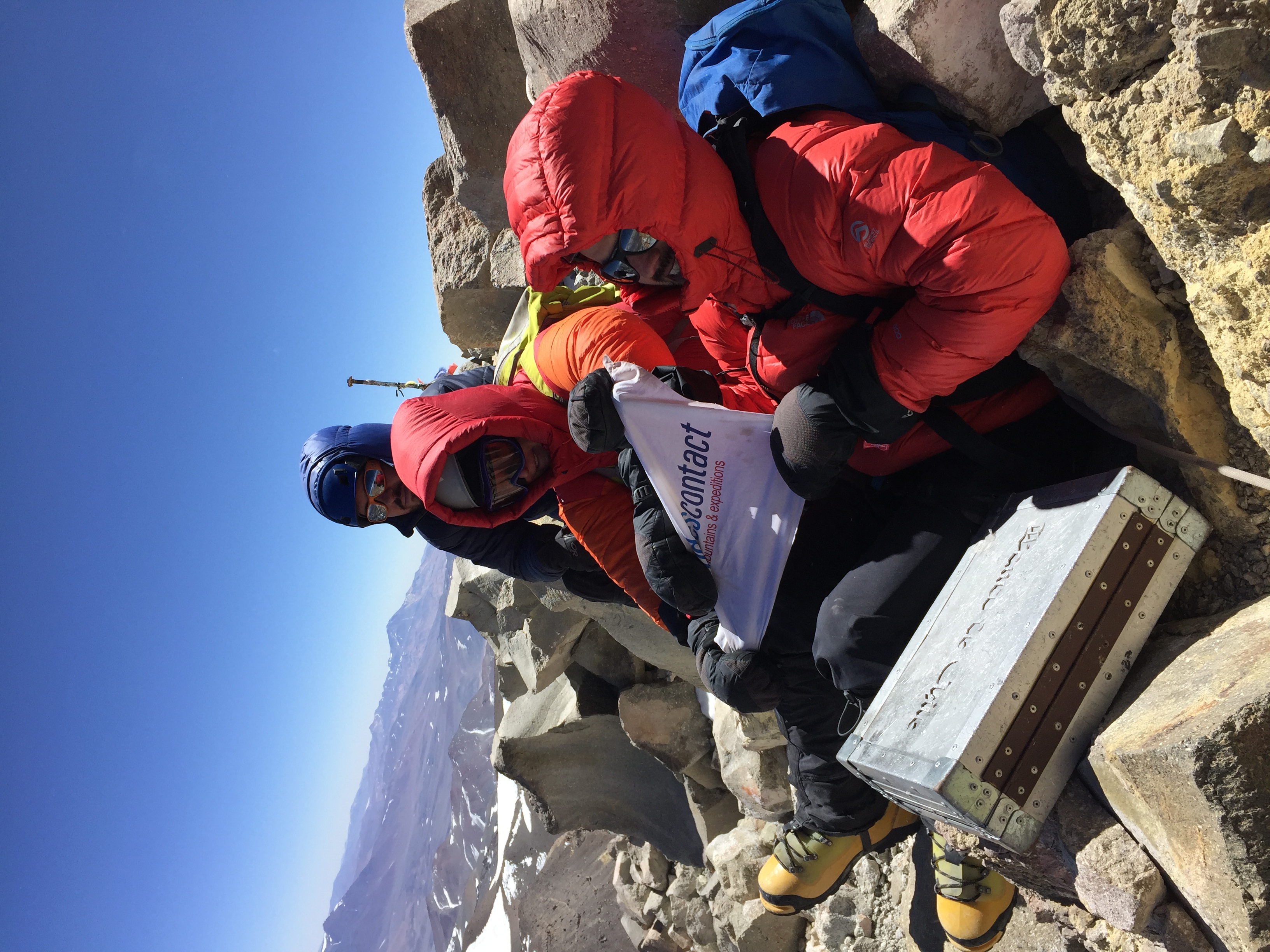
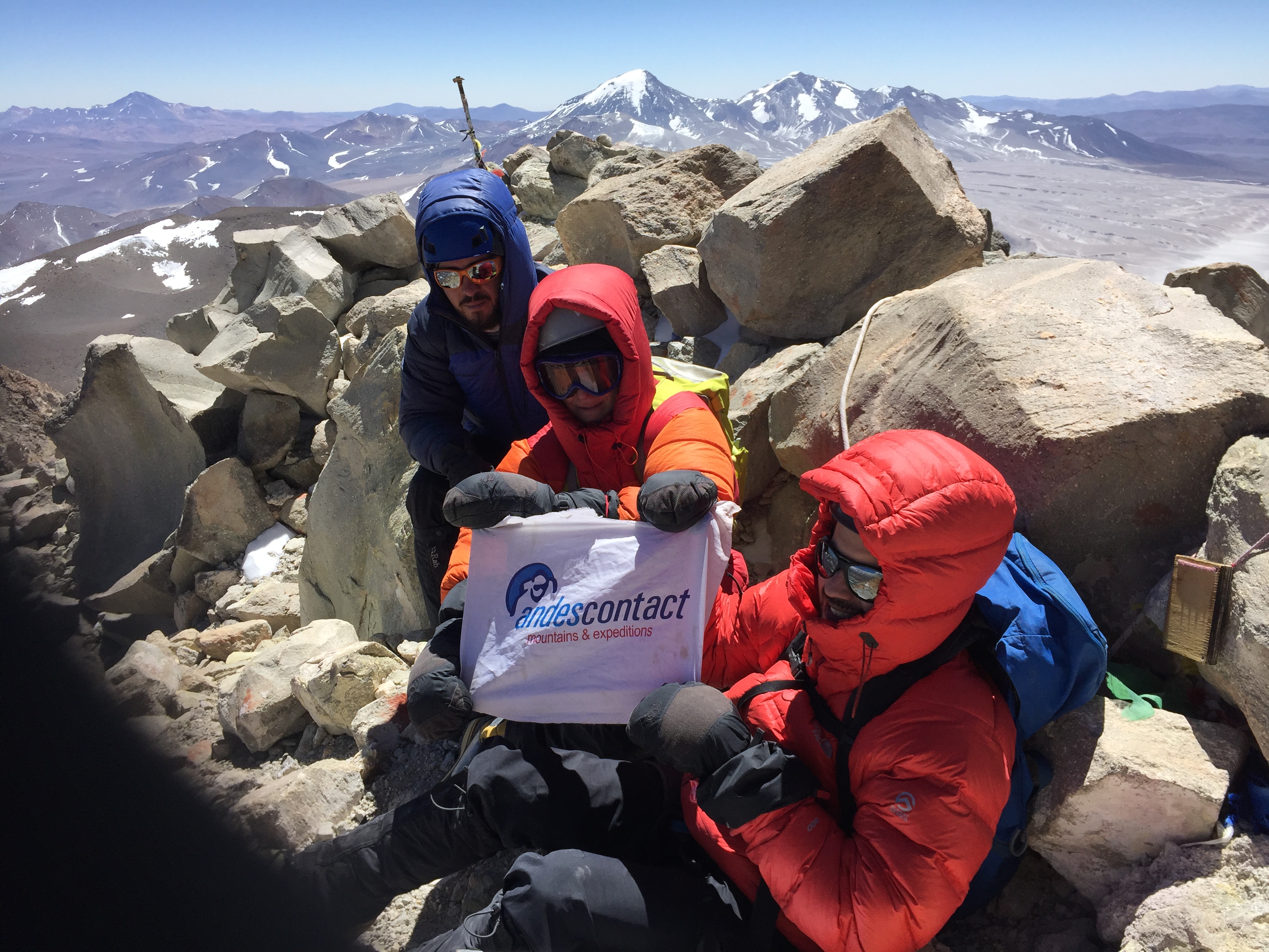
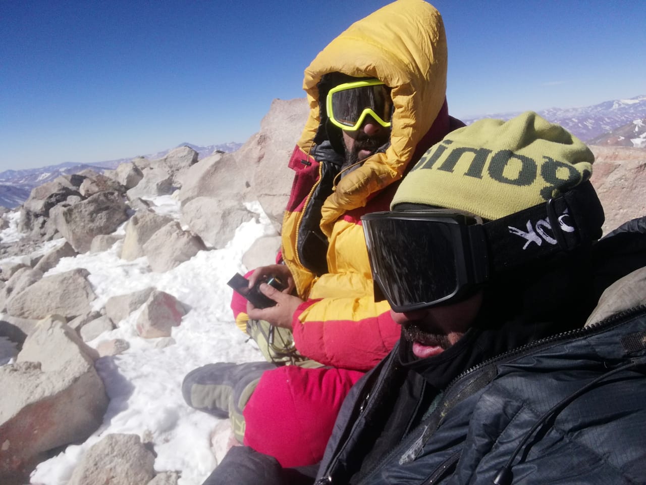
From Refugio Tejos the route to the summit follows a narrow but clear trail which zig-zags all the way to the summit. Once one third of the way up it is possible to continue up the snowfield or to cross it and continue straight up. Afterwards one should head towards the mountain´s West ridge, which leads up to the crater (this section is usually very cold and exposed to the wind.) Once at the crater it must be crossed and then its eastern slope climbed, for finally traversing in South direction. See photo 5. At this point there is a short rock climb, some 3 meters high. Though not technical, this section isn´t easy, due to the high altitude. Take care of not using the fixed ropes, which will probably be completely worn by radiation, wind and snow. Once this rock section is overcome, the summit is just a few meters of scrambling away. The summit bid should take between 6 and 8 hrs. on the ascent and 3 hrs. on the descent.
Recommendations
Gear
Schedule
Schedule 1
- Copiapó – Laguna Verde
- Laguna Verde (acclimatization)
- Laguna Verde (acclimatization)
- Laguna Verde (acclimatization or hiking*)
- Laguna Verde – Refugio Atacama
- Refugio Atacama (acclimatization)
- Refugio Atacama – Refugio Tejos – Refugio Atacama
- Refugio Atacama – Refugio Tejos
- Refugio Tejos – Cumbre – Refugio Atacama o Laguna Verde
- Refugio Atacama o Laguna Verde – Copiapó
*Intended for improving the acclimatization process. This can be one of the following:
Do the tour all way round Laguna Verde (4 hours)
Climb Cerro Laguna Verde
Climb Cerro Mulas Muertas


ROUTE STATUS
Normal Route | Volcán Ojos del Salado.
El propósito de los reportes de estado de ruta es entregar información reciente acerca de las condiciones de una ruta en particular. No es condición para hacer un reporte de ruta que hayas llegado a la cumbre. Muchas veces la ascensión completa de la ruta se debe a la existencia de un impedimento de realización reciente sobre el cual es muy importante compartir información para quienes están preparando una visita al cerro o ruta ¿Has intentado esta ruta recientemente? Entonces entrega tu reporte del estado de la ruta aquí. Para hacerlo debes logearte o registrarte.
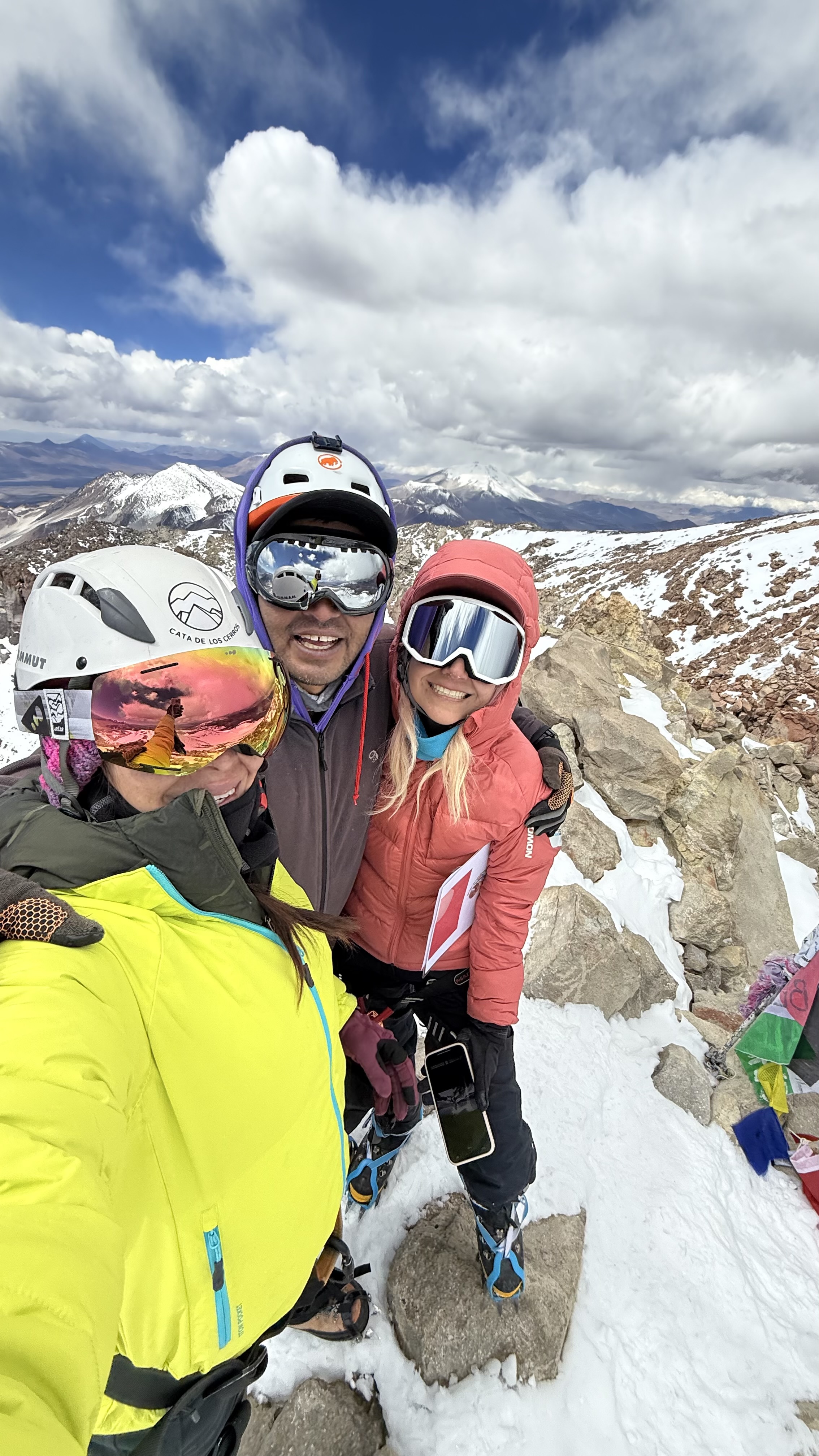
catalina Caiceo17/03/2025
Punto alcanzado: 6893 msnm cumbre chilena
Fecha expedición: 12/03/2025
Ruta normal, nuestro campamento base fue en laguna verde, desde ahí ascendimos en 4x4 hasta un poco más arriba del refugio tejos, comenzamos a las 5 de la mañana y llegamos todos a la cumbre a las 14:30
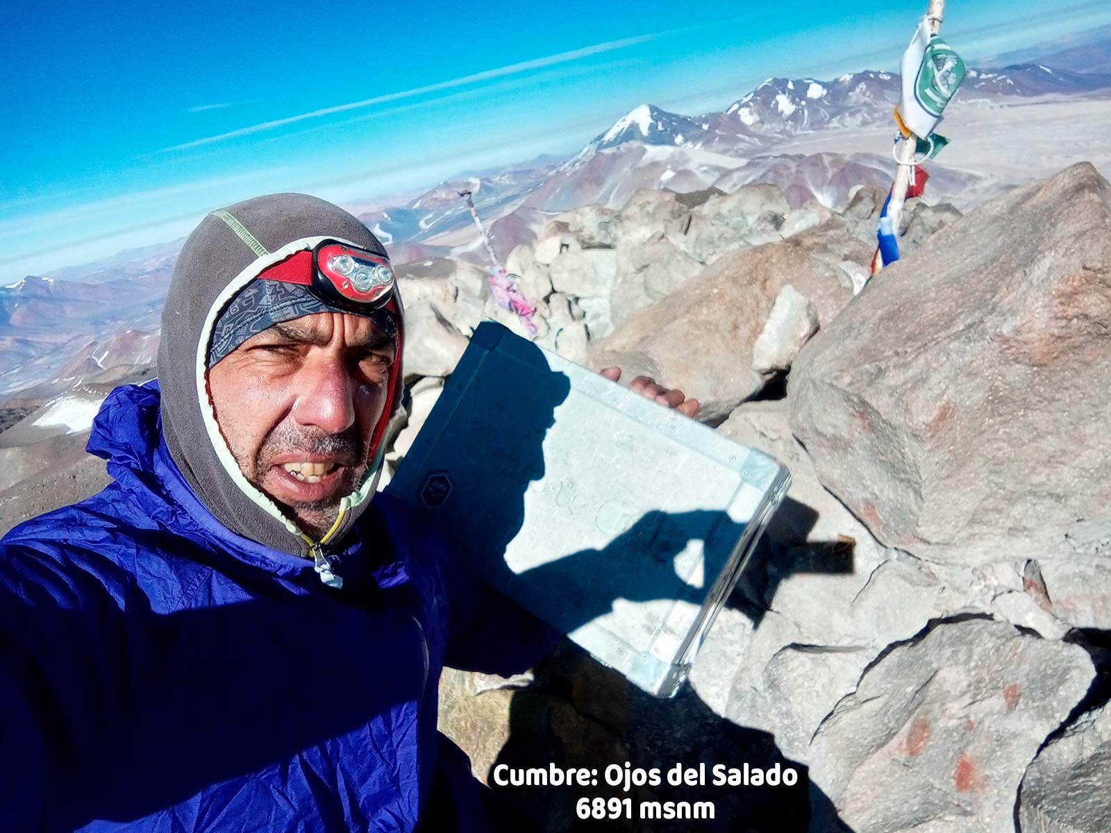
Carlos Azeglio23/04/2025
Punto alcanzado: Cumbre 6891 msnm
Fecha expedición: 04/01/2025
Ruta en muy buenas condiciones, me demoré 4 hs desde el Campamento Tejos a la Cumbre
Hugo Martínez27/11/2024
Punto alcanzado: Cumbre, 6893msnm
Fecha expedición: 14/12/2022
Fue un día hermoso, mínima -10ºC, casi ni viento. A partir de los 6600msnm un manto de nieve blando no mayor a 30cm. Desde Tejos a la cumbre fueron 10h aproximadamente y 4 horas para bajar. Se aclimataron 4 días. Desde el cráter (6.700) a la cumbre (6893) me tardé 2h y fueron muy intensos, seguro, debido a mi poca aclimatación. Los últimos se requirió mucha mente, no por lo técnico ni lo físico, si no por la altitud que te pega con fuerza.
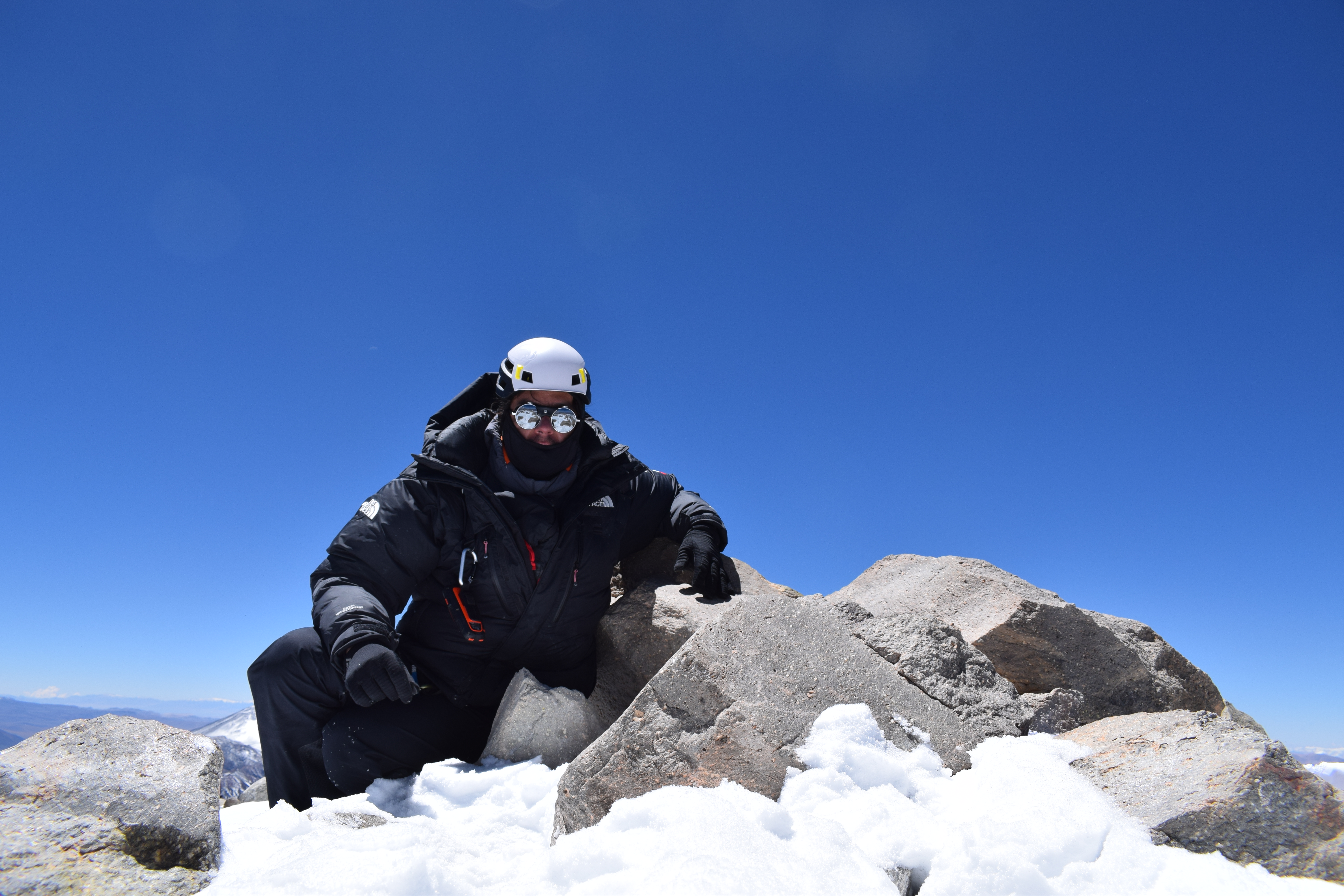
Hernán Felipe Núñez Cristi18/02/2021
Punto alcanzado: Cumbre
Fecha expedición: 16/02/2021
Ruta con nieve blanda que complicaba el paso en el nevero. Tramos con hielo hasta el cráter.
D. Galaz N.31/01/2021
Punto alcanzado: Cumbre
Fecha expedición: 01/01/2021
Entre refugio Claudio Lucero y Atacama, ruta en regular estado con sectores de arena que dificultan el avance en motocicleta enduro. Ascensión en solitario de 8 días de duración. Tiempo generalmente estable salvo un par de días donde se ha cubierto y caído algo de nieve durante las tardes.
Adolfo Dell´Orto S.13/11/2020
Punto alcanzado: Cumbre
Fecha expedición: 10/11/2020
Todo bien, buen tiempo.
Adolfo Dell´Orto S.13/11/2020
Punto alcanzado: Cumbre
Fecha expedición: 03/11/2020
Al parecer primer ascenso de la temporada (cumbre 10-11-2020). El camino hasta Camp. Atacama está abierto, sin necesidad de subir por "Rocky". El camino luego a Tejos, muy arenoso como siempre en la primera parte pero subible. El tramo donde habitualmente se forman penitentes previo a una larga subida, se encuentra bloqueado por éstos, pero se puede rodear por la derecha con cuidado.
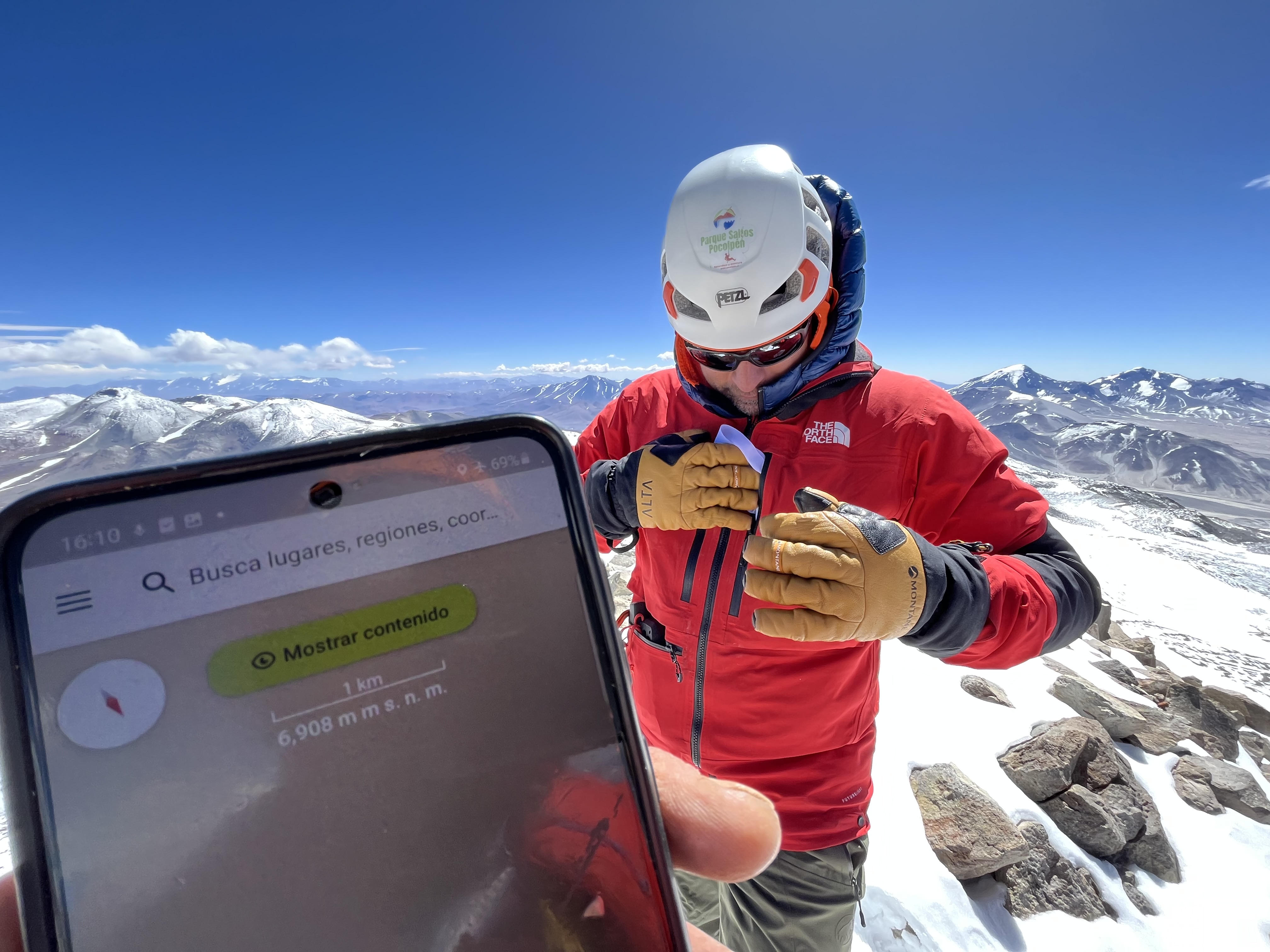
Óscar González04/03/2022
Punto alcanzado: Cima
Fecha expedición: 13/01/2020
Se inicio el ascenso con bastante frío pero según avanzo la jornada subió la temperatura y se atemperó algo el ambiente. Fue un día muy soleado, con muy buen tiempo, sin casi presencia de unas de las cosas que más se temía, el viento. En esa jornada no se piso nieve, salvo en el tramo del glaciar, brevemente. No hicieron falta crampones. La trepada final también se encontró en buenas condiciones. Como dato curioso, ese día todos los que salimos a hacer cima lo conseguimos. 2 Polacos, 6 Argentinos y 2 Catalanes.
Rodney Aliaga06/08/2019
Punto alcanzado: Cumbre
Fecha expedición: 04/08/2019
el camino cortado en muchas partes pero gracias a la muñeca de Mario y a la Hilux antigua pudimos aproximarnos
Tiago de Pellegrini Korb13/03/2019
Punto alcanzado: Cumbre
Fecha expedición: 26/02/2019
Apesar de ter vento até a canaleta no cume não havia vento e a temperatura estava agradável. No final do dia teve tempestade de arreia.
Tracks and Waypoints
Normal Route | Volcán Ojos del Salado.
Ruta normal Ojos del Salado
Colaborador: Oliver Francisco Bravo
Fecha: 20/03/2015
Ruta realizada en Enero de 2015
Aproximación Ojos del Salado
Colaborador: Luis Ignacio Salazar Vargas
Fecha: 31/03/2016
La aproximación puede variar en algunos casos por acumulación de nieve en ciertos tramos

I did it!