Summary
General Information
Mirador Máximo Villaflor
Country: Chile
Region: Región de Atacama
Area: Parque Nacional Pan de Azúcar
Nearest city: Chañaral
Number of journeys: 1
Total distance: 10,1km
Trail Markings: Esporádica
Trail: Claro y marcado
Route type: Circuito
Fauna
Playas / Mar
Flora
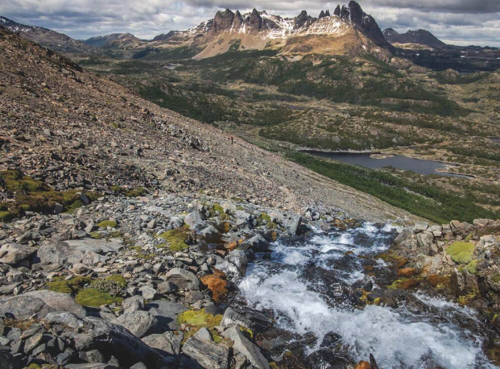
Panorámicas / Paisaje
Difficulty:
I did it

Hiking routes
MIRADOR MÁXIMO VILLAFLOR
Parque Nacional Pan de Azúcar
Author: Mario Arias
Introduction
The Parque Nacional Pan de Azúcar is located along the coast in the regions of Antofogasta and Atacama between the comunes of Taltal and Chañaral, and was created in May 1986. The park is best known for its conservation of a great number of Xerophytes, a species of plant that has adapted to thrive in dry conditions. The plant family Cactaceae, or cacti, is just one of many interesting species that grow well in the region due to the “Chamanchaca” (thick pacific fog) which often envelops the shoreline.
The park is also well known for its protection of indigenous fauna such as the guanaco, the Humboldt penguin and the Yunco duck; the latter two being easy to spot on the Pan de Azúcar island. Furthermore, it is an important archaeological conservation zone, as the remains of ancient human settlements have been discovered in the interior section of Las Lomas.
This trail offers the chance to visit the interior of the park and to see a great variety of cacti. Furthermore, you will be greatly rewarded for your physical efforts with an amaxing view of the coast from the Máximo Villaflor viewpoint, from which you can clearly see the bay and the Pan de Azúcar island.
The route is called Máximo Villaflor, after the lawyer who was the highest ranking customs officer in Chañaral from 1860 to 1880 whilst he works in the Pan de Azúcar customs, one of the most important ports of the emerging metal industry during these years.
Appropriate season
The Parque Nacional Pan de Azúcar is open all year round so this trail can be completed in any season.
Access
Private Transport
From Chañaral, 168km to the northwest of Copiapó, follow route C-120 leading to Parque Nacional Pan de Azúcar along a well-maintained gravel road. It is 27km to the Pan de Azúcar Bay and should take ½h from Chañaral.
Public Transport
There is no public transport to the Parque Nacional Pan de Azúcar , so the only options are to go by taxi or to hire a colectivo from Chañaral, and you can coordinate the return to this town. It costs approx. CLP$30,000 (approx. USD$42) for this option.
Permits / Prices
This part of the park is open all year round from 9:00 to 18:00. The entry fees to the park are as follows: Chilean adults CLP$3000 (approx. US$5), Chilean children CLP$1500 (approx. US$3), foreign adults CLP$5000 (approx. US$7), foreign children CLP$1500 (approx. US$3); adults with disabilities CLP$1500 (approx. USD$3); adults over 60 CLP$1500 (approx. USD$3); Chilean children under 6 with a disability for free.
For more information: contact [email protected], telephone: (052) 2213404 or (052) 2239067.
Accommodation / Facilities
There are 5 equipped campsites within the park. These are run privately and have bathrooms, and are the only places in the park where you can stay the right. They cost around CLP$5000 (approx. USD$7) per person per night.
There are also cabins in the park.
Recommendations
- Pets are not allowed in the park.
- Only camp in the designated camping areas.
- It is forbidden to light fires either on the beach on inside the park. It is only permitted in the campsites.
- There is no drinking water in the park or in the campsites so it is vital that you bring water from Chañaral, and take into account how many days you will be staying in the park. It should be approx. 2 litres per person per day.
- Only walk along the designated paths so as not to destroy the sector’s flora.
- Do not left rubbish/waste in the park.
- Up until recently there was a second access road to the park, route C-110, but this has been shut due to a landslide which badly affected the region in 2015.
- Don Godin offers a colectivo service to the park for CLP$30,000 (approx. USD$42) for the return journey. His phone number is +56 9 9952 3875.
- It is possible to find food stalls in the bay which sell prepared food from the shorelines around. During summer you can rent bicycles and buy artisanal goods.
Gear
- Trekking boots or high-ankle boots.
- Water bottle
- Sun hat
- Sun-glasses, sun protection.
- Trekking poles
- Camping equipment (optional)
Schedule
- Chañaral – Mirador Máximo Villaflor – Chañaral
If you refer you can stay the night in one of the camping areas in the park.


Comments
Mirador Máximo Villaflor
Mario Arias 26/11/2015
Punto alcanzado: Ruta completa
Fecha expedición: 09/11/2015
Sendero de gran atractivo que permite apreciar como el desierto se conecta con el mar, y que gracias a la geografía del lugar permite la vida de abundante flora que se ha adaptado para vivir en el lugar.
Tracks and Waypoints
Mirador Máximo Villaflor
Sendero Mirador Máximo Villaflor
Colaborador: Mario Arias
Fecha: 26/11/2015

I did it!