Summary
General Information
Mallín del Toro
Country: Chile
Region: Región del Biobío
Area: Antuco
Nearest city: Los Ángeles
Number of journeys: 2
Total distance: 18,8km (ida y vuelta)
Trail Markings: Inexistente
Trail: Poco marcado y/o intermitente
Route type: Ida y vuelta
Fauna
Cascadas / Ríos
Flora
Lagos / Lagunas
Bosques
Panorámicas / Paisaje
Difficulty:
I did it

Hiking routes
MALLÍN DEL TORO
Antuco
Author: Joaquin Muñoz (CL).
Introduction
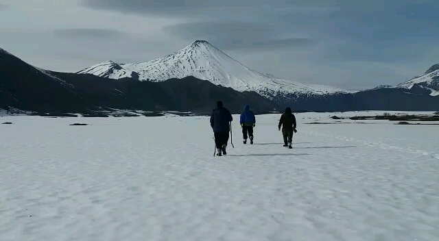
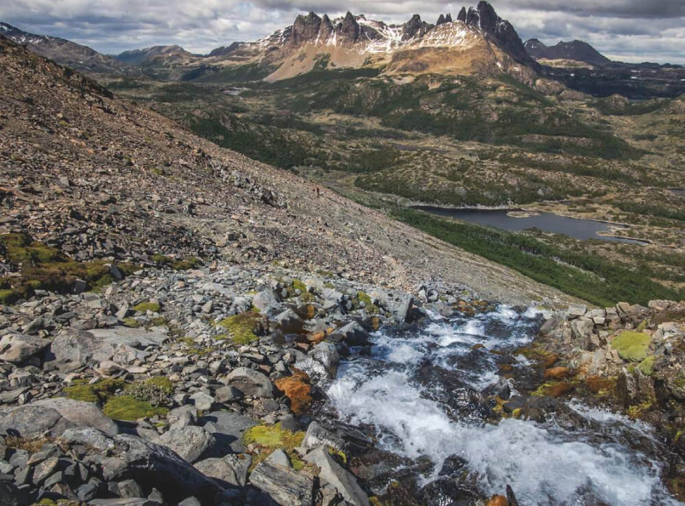
The Mallín del Toro route is 18.8km long and offers a comprehensive trail through beautiful scenery which constantly contrasts with the indisputable rulers over the region: the Volcano Antuco and the majestic Sierra Velluda. Forests of Coigües and Lengas, diverse species of fauna, courses of pristine water, panoramic views, and lakes allowing visitors to take a refreshing dip to combat the summer heat, all make this route an excellent choice for visitors who wish to visit this part of the cordillera in the Bío Bíó region.
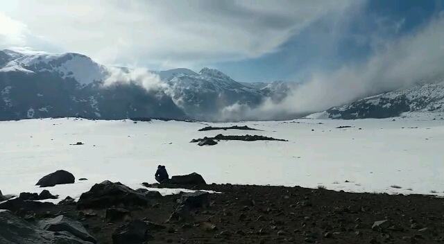
Even though the route begins inside the protected area of the Parque Nacional Laguna del Laja, almost all of the trail lies outside of the park. Despite this, the route can be visited freely and without any type of hindrance. The trail ends at the shores of the lake Laguna El Toro, which is surrounded by mallines, or marshland which serve as a meeting point for various types of fauna. Along the route, you will also be able to see the enormous lake Laguna del Laja to the east.
It should be mentioned that one of the worst mountain tragedies in Chile’s recent history occurred near to this route. In May 2005 this area was witness to the so-called “Disaster of Antuco” where 45 soldiers and one non-commissioned officer in the Chilean Army died during a fierce snow storm.
Appropriate season
Even though the route can be completed all year round, in winter the route is normally covered in snow which can remain frozen until spring, and this could impede your advance along the trail as well as orientation. It is advisable to visit between December and April.
Access
Los Ángeles - Parque Nacional Laguna del Laja
From the town of Los Ángeles it is 101km to the Antuco ski centre along route Q-45. After 97km you will enter the Parque Nacional Laguna del Laja where the Conaf guard post is located beside the park entrance. Here you will need to register and advise them of the route you will complete as well as pay the entrance fee (CLP$1200 p/p, approx. USD$2) See photo 1. The road is paved until Abanico (84km) and then it gravelled and in good condition.
If you are coming from the north, you can follow route O-97 (paved) which starts near to Cabrero and leads southeast towards Huepil. From Huepil you can continue along this route until reaching Abanico, the majority of this route is along gravelled road. If you want to avoid the gravel, you can turn south at Huepil and take route Q-45.
You can leave your car at the ski centre car park. The route starts back up the access road 400m to the west of this point, to one side of a maintenance hut which is clearly visible from the road to the north See photo 2.
There is no public transport to the start of the route.
Permits / Prices
Even though the route is outside the boundaries of the Parque Nacional Laguna del Laja, the park entrance fee costs CLP$1200 (USD$2) per person.
Accommodation / Facilities
None.
Recommendations
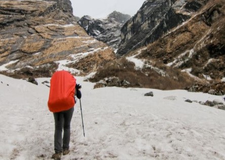
- The seasons in Antuco are marked: in winter the temperatures drop and there is a significant amount of snow along the route. Given the location, altitude and temperature, there can be ice along the path.
- In autumn the courses of water disappear almost entirely so we recommend that you take enough water with you for the trail.
- It is recommended that you start the trek early in the morning given the length of the route.
- Advise the Conaf workers of your planned route as there is no mobile phone signal along the trail.
- Do not light fires, and take all rubbish with you. Ensure that you leave this beautiful area in the same state as you found it.
Gear
- All trekking and camping gear
- Trekking poles
- Waterproof clothing and gaiters (winter/spring)
- Warm clothing
Schedule
- Antuco - Laguna el Toro
- Laguna el Toro - Antuco


Comments
Mallín del Toro
Héctor Esparta 13/01/2019
Punto alcanzado: Refugio del arriero
Fecha expedición: 17/09/2018
Fuimos en septiembre 2018. Pero la nieve nos impidio continuar. Logramos llegar al refugio pues luego ya el sendero se perdía. Aun así el paisaje en antuco es uno de los mejores de la region del bio bio.


El clima anunciaba tormenta electrica y muy bajas temperaturas razon por la que decidimos no continuar y retomar ahora en enero 2019 esperando llegar a laguna hermosa.
Héctor Esparta 13/01/2019
Punto alcanzado: Mallin el toro
Fecha expedición: 17/09/2018
Mallin el toro

Joaquin Muñoz 22/06/2015
Punto alcanzado: Laguna
Fecha expedición: 22/05/2015
Otro de los hermosos rincones de la fantástica zona de Antuco
Joaquin Muñoz 27/05/2015
Punto alcanzado: Campamento a orillas de la Laguna
Fecha expedición: 17/04/2015
El sendero a la laguna es realmente hermoso, se puede disfrutar de hermosas vistas, reconocimiento de flora y con suerte el avistamiento de fauna propia de la zona. Por lo extenso de la distancia a cubrir es recomendable partir temprano, una buena condición física contribuye a disfrutar aún más de la ruta.
Tracks and Waypoints
Mallín del Toro
Colaborador: David Valdés
Fecha: 17/06/2015
Travesia mallin del toro
Colaborador: Francisco Medel castro
Fecha: 24/12/2022
Travesia realizada el 11 de diciembre del 2022

I did it!