Summary
General Information
Iver Glacier
Country: Chile
Region: Región Metropolitana
Area:
Face: Oeste
Altitude gain: 2100 m. From Piedra Numerada to the summit.
Number of journeys: 4
Trail: Poco marcado y/o intermitente
Year First ascent: 1945
First ascent:
Fernando Boher y Bernardo Rosales
Escalada en hielo
Travesía en glaciar
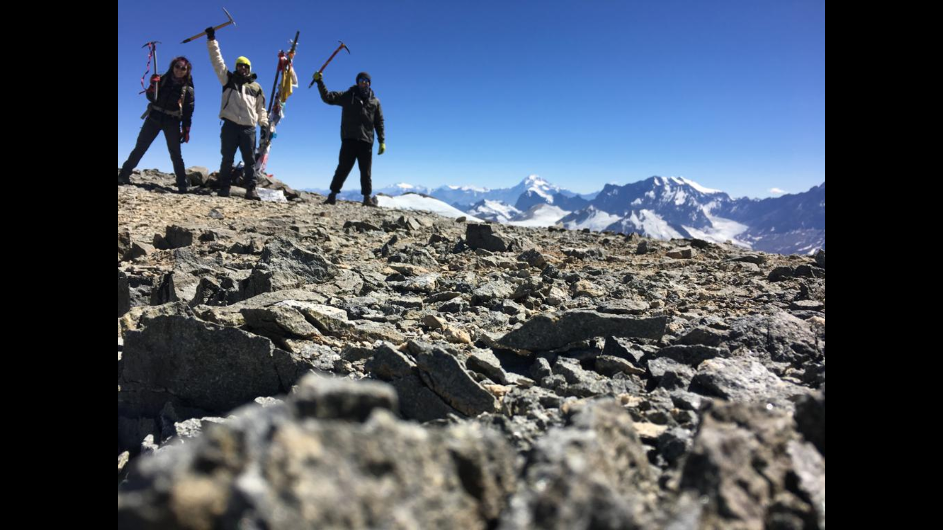
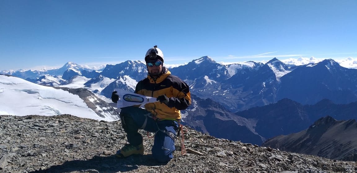
I did it

Mountain route
IVER GLACIER
Appropriate season
Between November and March. In spring the approach to the Plomo´s base will have plenty of snow. The best time is between January and March, when there is no snow during the approach and the weather is more stable.
Access
Via Valle Nevado
Going up Av. Las Condes, take the road to Farellones. At the end of the curves and just before reaching Farellones (it is 48 kms. up to here), turn right towards the Valle Nevado Ski Center. From the ski center, and after obtaining permission to pass through its land, take the dirt road that will get you through the ski runs and closest to Cerro Tres Puntas, East of the area called Tierras Bayas (3.450 mts). This is where the approach by foot starts. The trail is very wide and clear and descends quickly into the ravine ahead. In total, from the beginning of the road to Farellones up to Tres Puntas, it is more or less 2 hours by car. From Tres Puntas to the first campsite, Piedra Numerada, it takes between 1 and 2 hours walking. Piedra Numerada is at 3.370 meters above sea level.
Via La Parva
Taking the same road to Farellones, continue past Farellones (do not turn right at the turn to Valle Nevado) to the La Parva Ski Center. Continue, if possible, to the ski center´s highest point, depending on whether the road up the ski runs is open and clear of snow (ask local workers to show the way). Via this road you will reach the end of the last lift, called Piuquenes, right next to the pass between Cerros Franciscano and Falsa Parva. From the beginning of the road to Farellones up to Piuquenes, it takes between one hour and one hour and a half by car. From Piuquenes to Piedra Numerada, it takes between two and two and a half hours walking. If the road up the ski runs isn´t open, consider 2 or 3 hours of heavy hiking from the ski center to the pass (if there is no snow), which is at 3.470 meters above sea level.
Approach
Piedra Numerada (3.370m) is the obvious place for sleeping the first night. See photo 2. In the middle of a great vega (plain covered with high altitude vegetation and with abundant water), right next to the Cepo River, Piedra Numerada was used years before by the arrieros to count the animals before taking them down to the valley just before winter arrived. It is a spacious place, with plenty of water and lots of room for setting up camp. Some boulders and stone parapets are a reference point. Beware of mice: do not leave food or garbage at their reach.
If the time necessary is available it is recommended to sleep here to acclimatize.
From Piedra Numerada the approach follows on to La Hoya. The trail from Piedra Numerada to La Hoya follows the stream most of the time and it passes by the right the waterfall visible from Piedra Numerada. In more or less 4 hours, La Hoya should be reached, though this will depend greatly on the physical conditions and acclimatization of each climber verFoto3 . La Hoya is reached just after going up a grey mound that is visible from an orange shelter (Refugio Federación, houses 4 people comfortably) located at a side of the trail which heads in Plomo´s direction. The site of the orange shelter is an alternative campsite. A better rest (with less "puna") can be obtained here, which may compensate the extra effort during the summit day. This place is at approximately 4100 mts. Have in mind that sleeping here will mean an extra hour during the summit bid.
The climb
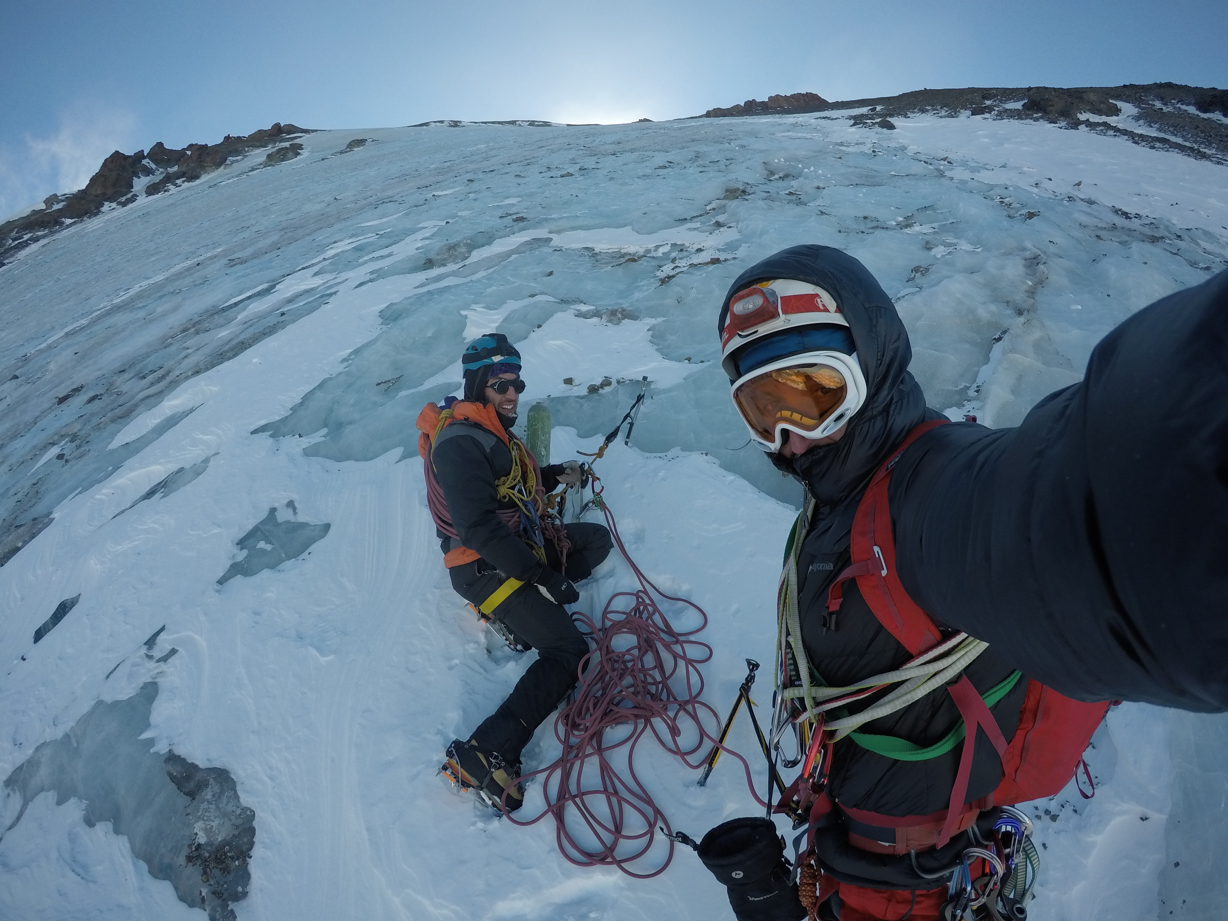
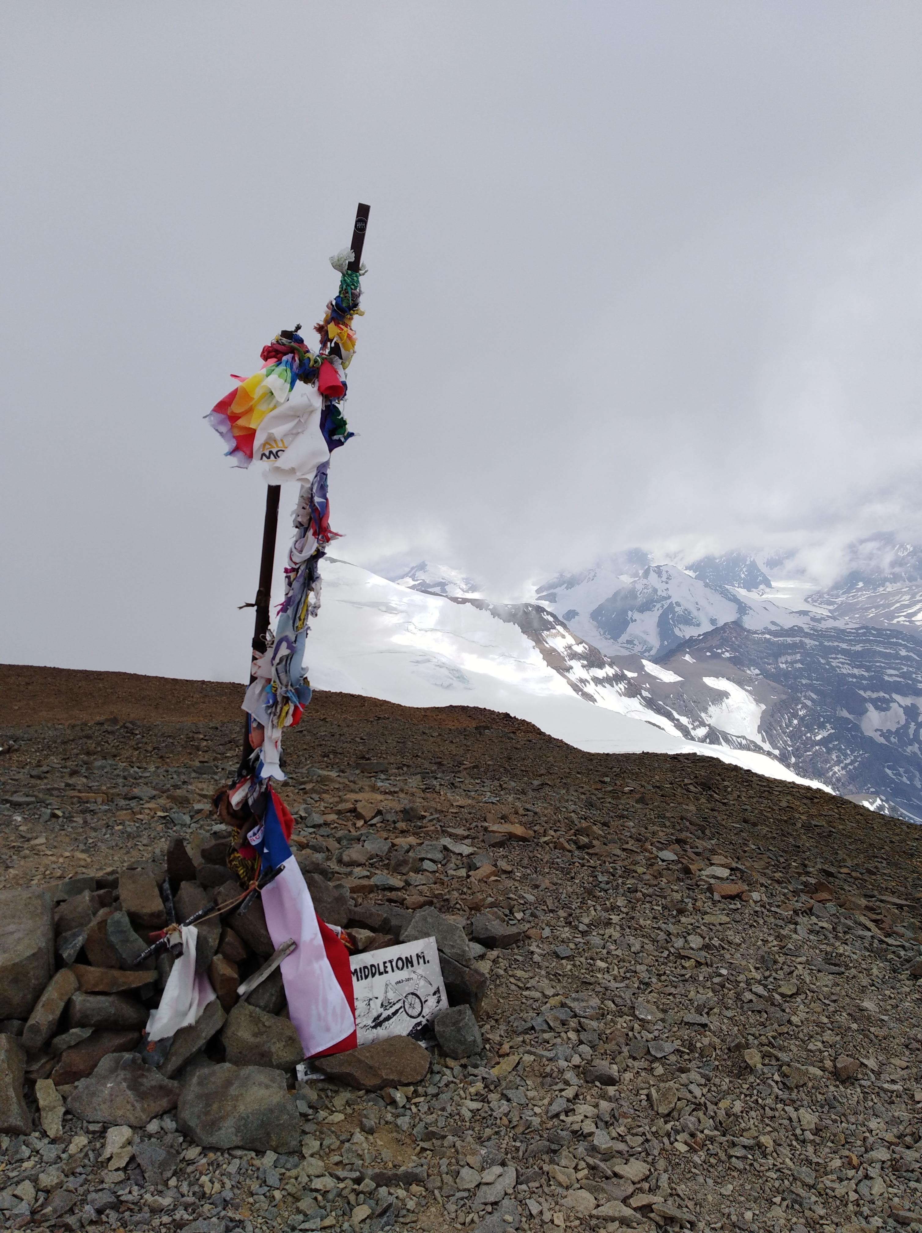
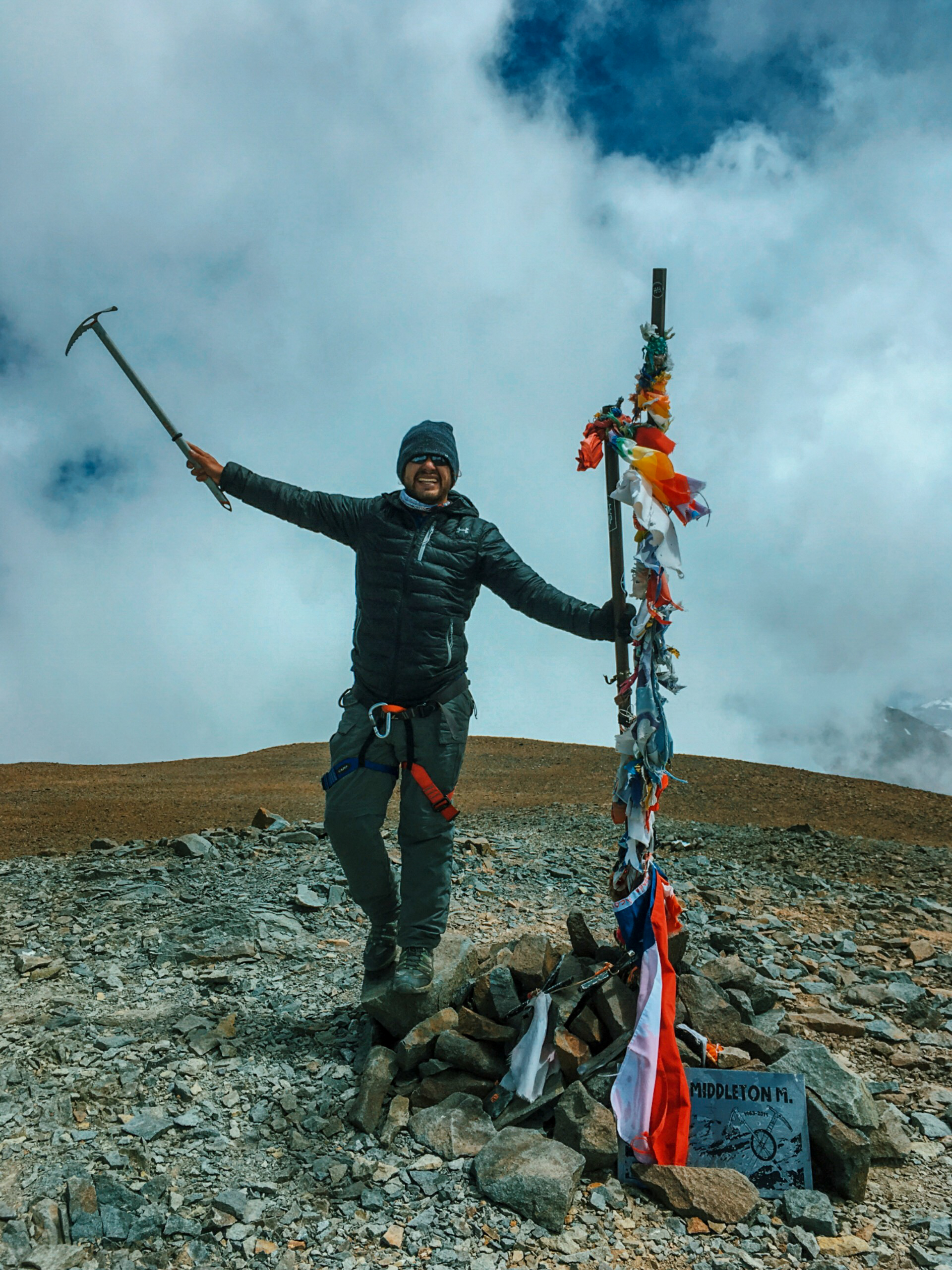
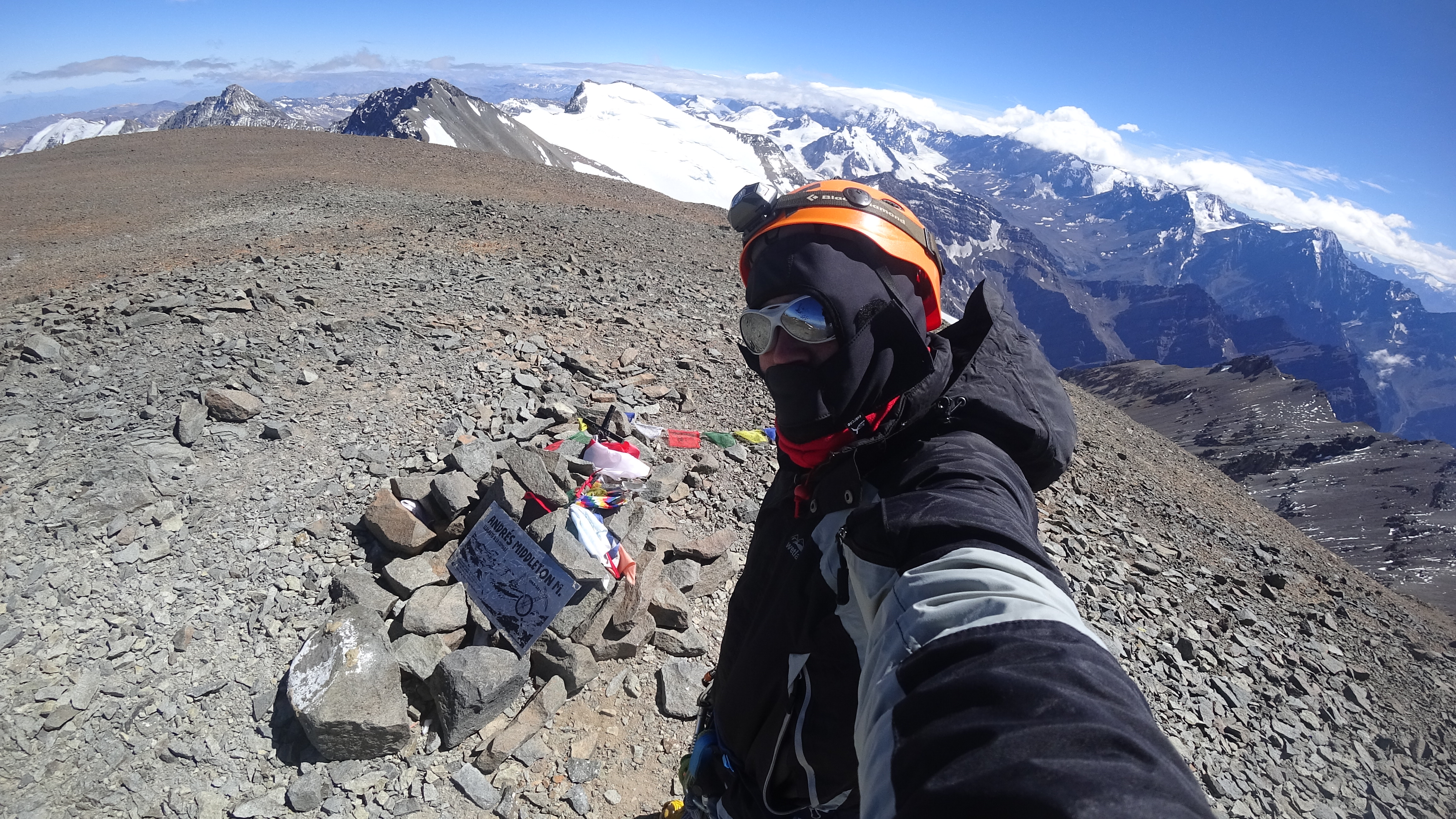
From the camp, go around the moraine which ends at La Hoya. This is done by ascending along the slope which rises from La Hoya on its right side. When the glacier´s conditions are clear enough (no penitentes), climb on the glacier. Towards the season´s end this will have hard ice, with no snow until its upper part. While advancing straight up, the glacier´s gradient increases up to an inclination of 45-50 degrees. verFoto3. It doesn´t have open crevasses, at most some little slots that may be overcome easily (a second ice axe might help if one has little experience.) At 4700 mts. there is a small rock patch on which to rest. Always straight up, the inclination starts decreasing when nearing 5000m and at 5100m one joins the normal route. verFoto4 . Here turn left and head straight for the summit.
The summit day is pretty tiring, especially for the calves, since there is a lot of kicking on hard ice. Towards the season´s beginning there may be some snow that could make the route less tiring. From La Hoya to the summit it should take between 5 and 8 hrs. The descent is along the normal route.
Recommendations
Gear
Schedule
Schedule 1
- Santiago - Piedra Numerada
- Piedra Numerada - La Hoya
- La Hoya - Summit - La Hoya
- La Hoya - Santiago
Descent to Piedra Numerada or Santiago is possible on the same summit day, depending on each climber´s shape. This schedule considers a day for acclimatization at Piedra Numerada.
Schedule 2
- Santiago - La Hoya
- La Hoya - Summit- La Hoya - Piedra Numerada
- Piedra Numerada - Santiago
Again, depending on each person´s shape, it is possible to descend to Santiago on the summit day.


ROUTE STATUS
Iver Glacier | Cerro El Plomo.
El propósito de los reportes de estado de ruta es entregar información reciente acerca de las condiciones de una ruta en particular. No es condición para hacer un reporte de ruta que hayas llegado a la cumbre. Muchas veces la ascensión completa de la ruta se debe a la existencia de un impedimento de realización reciente sobre el cual es muy importante compartir información para quienes están preparando una visita al cerro o ruta ¿Has intentado esta ruta recientemente? Entonces entrega tu reporte del estado de la ruta aquí. Para hacerlo debes logearte o registrarte.
Hernán Felipe Núñez Cristi04/11/2019
Punto alcanzado: Cumbre
Fecha expedición: 02/11/2019
Bastante viento en federación y en la cumbre. Las ráfagas podían desestabilizar el paso. El viento bajaba la sensación térmica considerablemente.
nicolas octavio fabio pereira10/08/2019
Punto alcanzado: monticulos
Fecha expedición: 07/08/2019
Iniciamos la trepa en la Base del Glaciar 06:35 am.

mas de las mitad de la ruta realizada, llegando a los 2 montículos, sufrimos accidente que nos obligo a abandonar.

Ruta con bastante caída de material y hielo cristal.

tubo de O2 y basura encontrada a mitad de camino.

Glaciar, ya va quedando menos cada año.
Roberto Manieu Arenas26/02/2019
Punto alcanzado: Cumbre
Fecha expedición: 17/02/2019
Tiempo de trayecto 6-7 horas. Frío en la madrugada. Luego de medio día el clima es inestable.
Franklin Hans Salinas Montenegro03/04/2019
Punto alcanzado: Cumbre
Fecha expedición: 01/02/2019
Dos días desde tres puntas, glaciar de solo hielo, glaciar con mucho retroceso, pequeñas grietas después de cruzar donde se conecta con la ruta normal.
Francisca Pincheira Cavieres01/04/2019
Punto alcanzado: Cumbre
Fecha expedición: 06/01/2019
Comenzamos a subir desde Federación a las 03:00 am, no fue bajo las mejores condiciones, teníamos como límite las 11:00 hrs para llegar o no podríamos hacer cumbre, pero lo logramos!! Como se aprecia en la foto no fue el mejor día para subir, por lo que debimos volver de inmediato. Experiencia maravillosa a pesar de la puna... Quiero volver.
Camilo Donaire San Martín03/12/2019
Punto alcanzado: Cumbre
Fecha expedición: 06/01/2019
El tiempo estuvo genial durante gran parte de la ruta, el día del ascenso final hacia la cima las condiciones climáticas fueron variando, de estar despejado, a llover, nevar pero después volvió todo a la normalidad.
Hernán Felipe Núñez Cristi08/01/2019
Punto alcanzado: Cumbre
Fecha expedición: 05/01/2019
El clima tuvo condiciones óptimas durante el ascenso, sin viendo y poco frío.

Hernán Felipe Núñez Cristi08/01/2019
Punto alcanzado: Cumbre
Fecha expedición: 23/12/2018
El clima estuvo perfecto, sin nubosidad y muy poco viento. Comencé a Subir a las 6:30 AM y llegué medio día.
Camilo alejandro Amigo11/01/2018
Punto alcanzado: Cumbre
Fecha expedición: 07/01/2018
condiciones perfectas del glaciar, nubes altas que se disiparon con el sol,4 horas desde la hoya
Vicente Jeria19/09/2018
Punto alcanzado: Cumbre
Fecha expedición: 01/03/2017
El clima nos acompañó, estuvo muy soleado y con buenas temperaturas. Quedaba un poco de nieve sobre el hielo lo cual facilitó nuestro ascenso.

I did it!